menu
All
Channel
search
Log in
Join Open.Video
Log out
live_tv
Livestream Starting Soon
00
Hours
:
00
Minutes
:
00
Seconds
Up next in
10
CANCEL
PLAY NOW
Please enable JavaScript
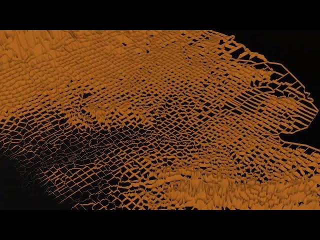
County Borders as Terrain: A 3D Elevation Map of the United States
Dec 10, 2025
Share
0
0
Visit Site
Share
0
0
Vivid Maps
Subscribe
This map transforms U.S. county boundaries into elevation ridges based on elevation. Read more:
https://vividmaps.com/united-states-border-walls/
Show More
Show Less
×
2026-02-05 10:09:45