menu
All
Channel
search
Log in
Join Open.Video
Log out
Up next in
10
CANCEL
PLAY NOW
Please enable JavaScript
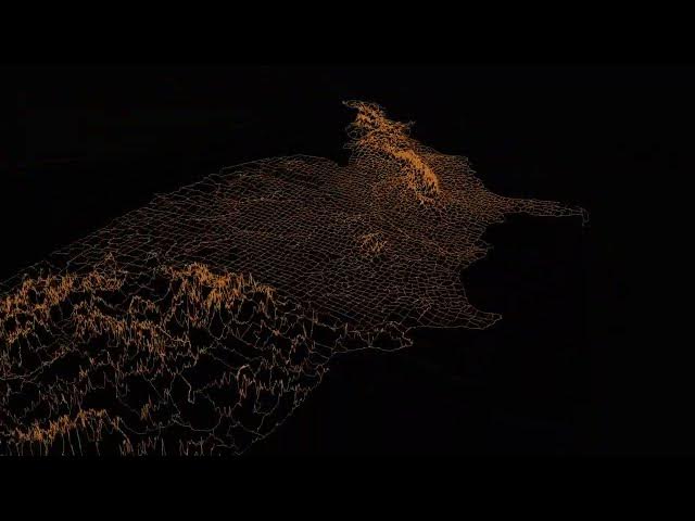
Elevation as Lines: A 3D Profile of U.S. County Borders
Mar 17, 2026
Share
0
0
Visit Site
Share
0
0
Vivid Maps
Subscribe
This map draws thin lines along each U.S. county border, their height determined by elevation. Read more:
https://vividmaps.com/united-states-border-walls/
Show More
Show Less
×
2026-07-15 03:00:15