
U.S. County Border Populations 3D Map
Feb 18, 2026
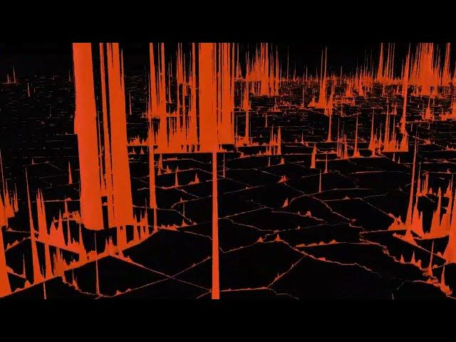
This animation draws county borders in 3D using population data. When more people reside along a county line, the wall is taller.
Read more: https://vividmaps.com/united-states-border-walls/
Show More Show Less