
U.S. County Border Precipitation Lines
Apr 22, 2026
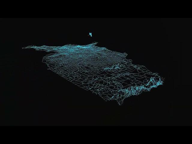
This animation turns precipitation data into rising lines along U.S. county borders. The result is a spiky web of climate data, helping to visualize which regions are wetter than others.
Read more: https://vividmaps.com/united-states-border-walls/
Show More Show Less #Jobs & Education