
Lines on the Land: U.S. County Borders in 3D
Jun 26, 2025
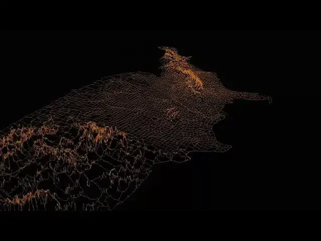
What if county borders weren’t just political lines, but reflected real-world data like elevation, rainfall, or population?
In this video, we transform the borders of U.S. counties into 3D lines—where the height of each line shows:
– County border elevation
– County border rainfall
– County border population density
This minimalist 3D animation reimagines geography as terrain drawn with light. Each map offers a new way to think about how natural and human elements shape the spaces between places.
Read more: https://vividmaps.com/united-states-border-walls/
Show More Show Less