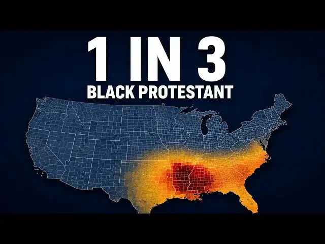

Mapping Black Protestant America, County by County
Oct 26, 2026

Black Protestant churches trace back to a walkout in Philadelphia in 1787, when Richard Allen and other Black worshippers left a segregated congregation and built their own. Three maps show where that tradition is most concentrated today, from Nevada County, Arkansas, where more than a third of residents are Black Protestant adherents, to states where the share drops below 1%.
Full data tables and maps here: https://vividmaps.com/black-protestant-population/
Sources: ARDA, U.S. Religion Census 2020 (thearda.com)
#BlackHistory #Maps #DataVisualization #Geography #Cartography
Explore more maps on Amazon (affiliate links):
🗺️ US wall map poster https://amzn.to/3Tshh9D
🌍 Scratch Off Map of the United States https://amzn.to/4wuVg8x
🗺️ US road atlas https://amzn.to/452kI9r
As an Amazon Associate, I earn from qualifying purchases.
Show More Show Less