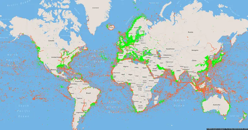
Since always, oceans have been essential for people as a means of transportation. Containerization counted as the most crucial transportation revolution in the twentieth century and expanded maritime cargo traffic. Nowadays, about 80% of the world trade by volume and over 70% of the global business by value are provided by vessels. The assumption is that dozens of thousands of vessels travel around the oceans and also rivers every day. With such notable traffic, it became necessary to trace the ship moves to stop accidents and environmental pollution and keep a survey of the marine transportation situation.
The automatic identification system is an automated tracking system onboard vessels giving data such as identifying the vessel, location, course, and speed enabling officials to trace and watch ship journeys. It is also used for crash restraint extending the maritime radar. According to the International Convention for the Safety of Life at Sea, all global traveling ships with a gross tonnage of over three hundred and all passenger vessels, regardless of their size, must be equipped with an AIS.
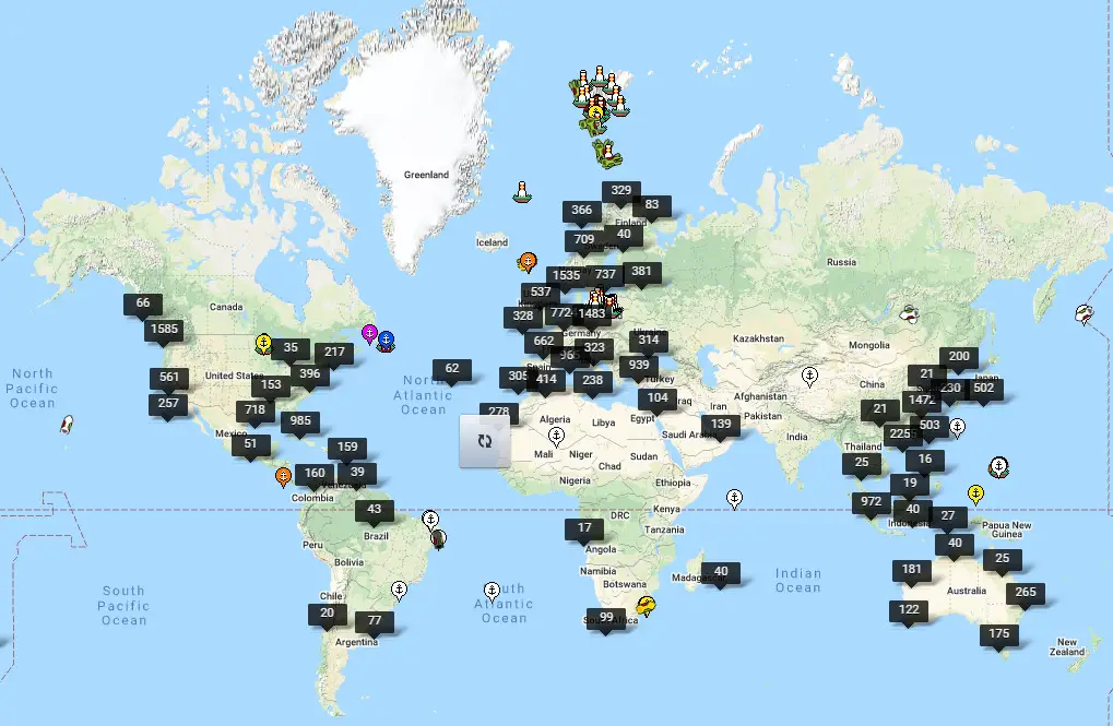
The map below shows all ships reported through the Spire Vessels API with the last reported position in the previous 24 hours. Note that using Vessels API only reports vessels with consistent static information to identify the ship and doesn’t report duplicate MMSI reporting ships.
Breakdown of position reports by source: 34% Satellite AIS 66% from terrestrial AIS. They are indicating that 35% of the fleet’s most recent positions reports from satellite AIS.
There are various online services to provide “real-time” vessel tracking information.
Marine-Traffic, one of the most popular and broadly used online vessel tracking systems, offers real-time ships, and excellent search features. Marine-Traffic also allows the tracking of various Ports throughout the world.
Shipfinder
This broadly used vessel tracking service online provides vessel search through numerous advantages such as vessel number, capacity, tonnage, ownership, and production. It also retains track of the users’ exploration history.
FleetMon
FleetMon’s open database of vessels and ports across the globe gives real-time AIS location data of ships, along with technical data on more than half a million boats. It presents the vessel’s details, plans, and port approaches, dealing patterns, and images according to the customer’s search.
VesselFinder
Vessel Finder gives real-time information on more than 100 thousand ships daily with the help of an extensive network of terrestrial AIS receivers. VesselFinder provides efficient monitoring services, port calls, master data, and each ship’s particular journey history on both rivers and the world’s oceans or seas.
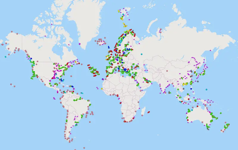
On the maps, various colored labels are used to exhibit diverse classes of marine ships. Yellow labels display the locations of cargo ships; orange labels symbolize tankers; purple labels expose yachts. If you click on individual labels on the map, you can see comprehensive information about the chosen craft.
MyShipTracking
MyShipTracking gives real-time locations of ships throughout the world. With its extensive database, MyShipTracking allows users to observe ships and ports to examine maritime traffic efficiently.
CruiseMapper
CruiseMapper gives data on the locations and plans of different voyage vessels helping tourists over the globe. With its CruiseMapper vessels and ыуфports database, the service presents data on characteristics and technical specifications of any voyage and information for main seaports that house the cruise vessels.