The interactive watershed map
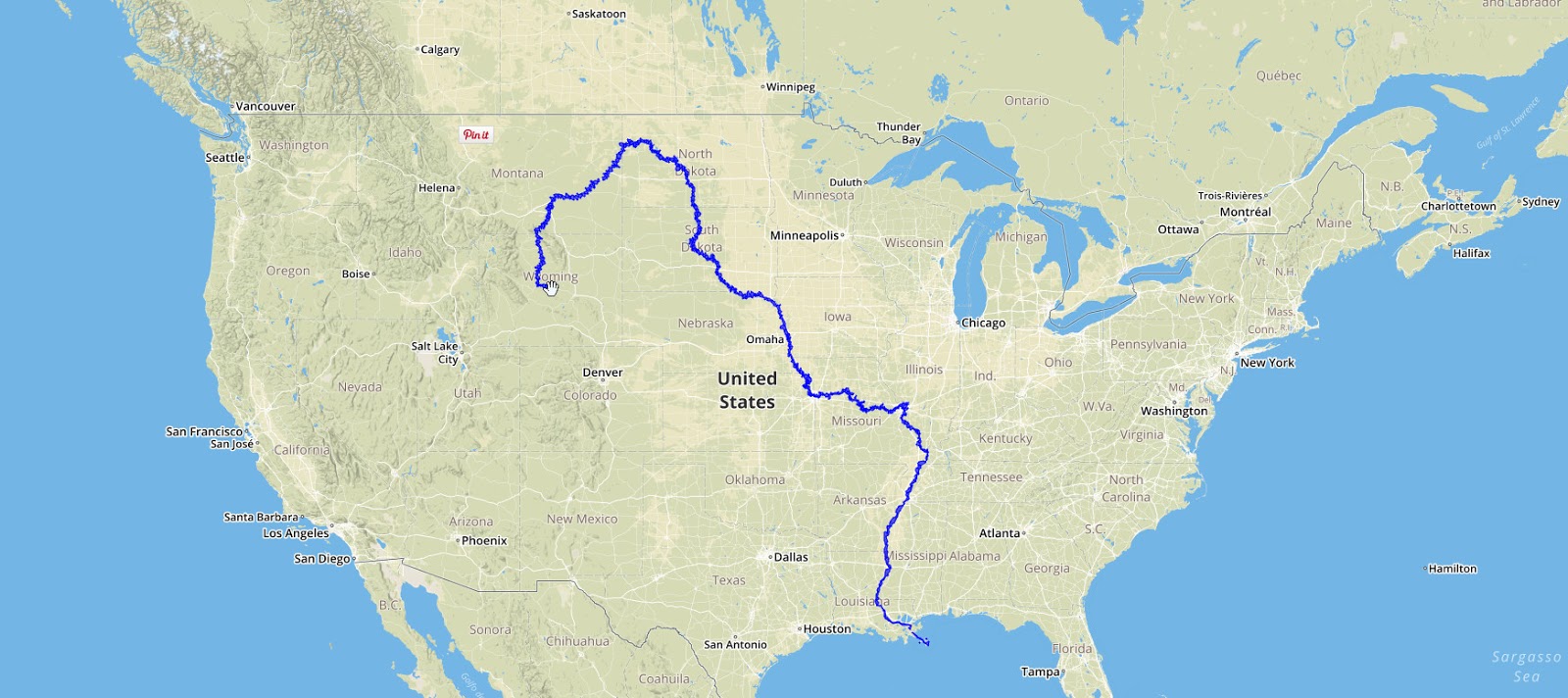
This map shows how surface water flows in the U.S. As you move the mouse over the map, the program highlights the upstream area in red, and the downstream area in blue. The coloring changes dynamically as you move the mouse; it’s always based on whatever the current mouse position is.
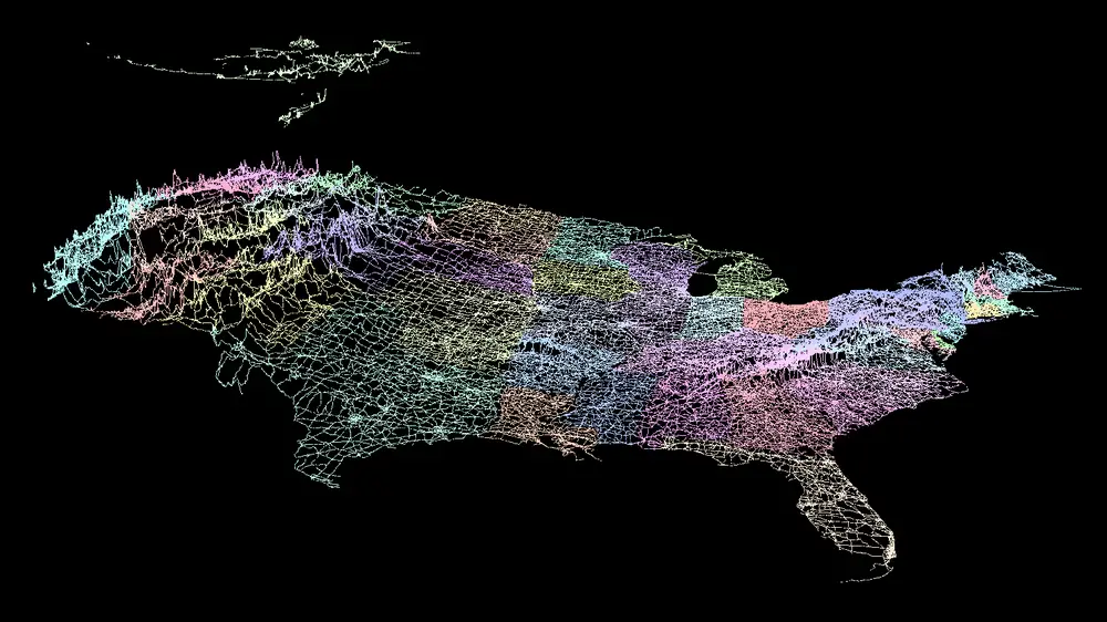
U.S. watersheds animated

