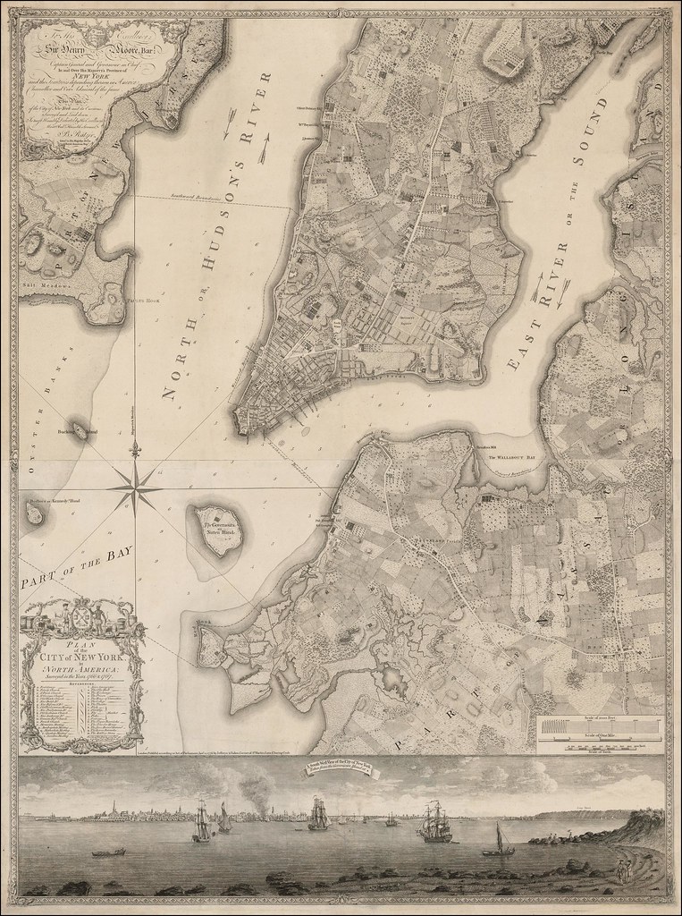
Visualizing 19th-Century New York
A spatial interface to twenty essays on the objects & themes of the exhibit as well as th objects and landmarks.

Related posts:
– Urban Scratchoff
– Interactive map of New York City in year 1609
– Map of Manhattan by Joan Vinckeboons (1639)
– Map of Manhattan (1865)
– Bird’s-eye-view of the Manhattan, published by Currier & Ives (1870)
– Bird’s-Eye Map of Greater New York (1897)
– A map of the wondrous isle of Manhattan (1926)


