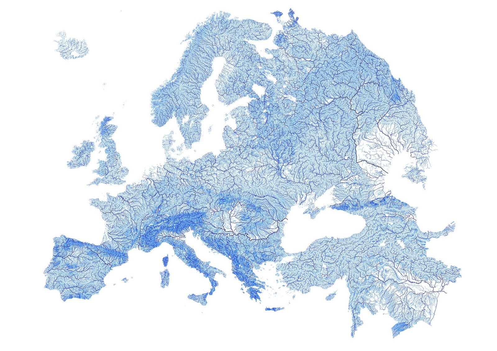
Europe plotted by every mapped stream & river
Map created with open-source QGIS using data for 1.35 million streams from 1:250000 scale European Environment Agency Catchments and Rivers Network System spatial vector datasets. Rivers are weighted according to Strahler hierarchies: from first order streams to major rivers into which thousands of smaller streams flow.
Via www.etsy.com
Related posts:
– Australia plotted by every mapped stream and river.

