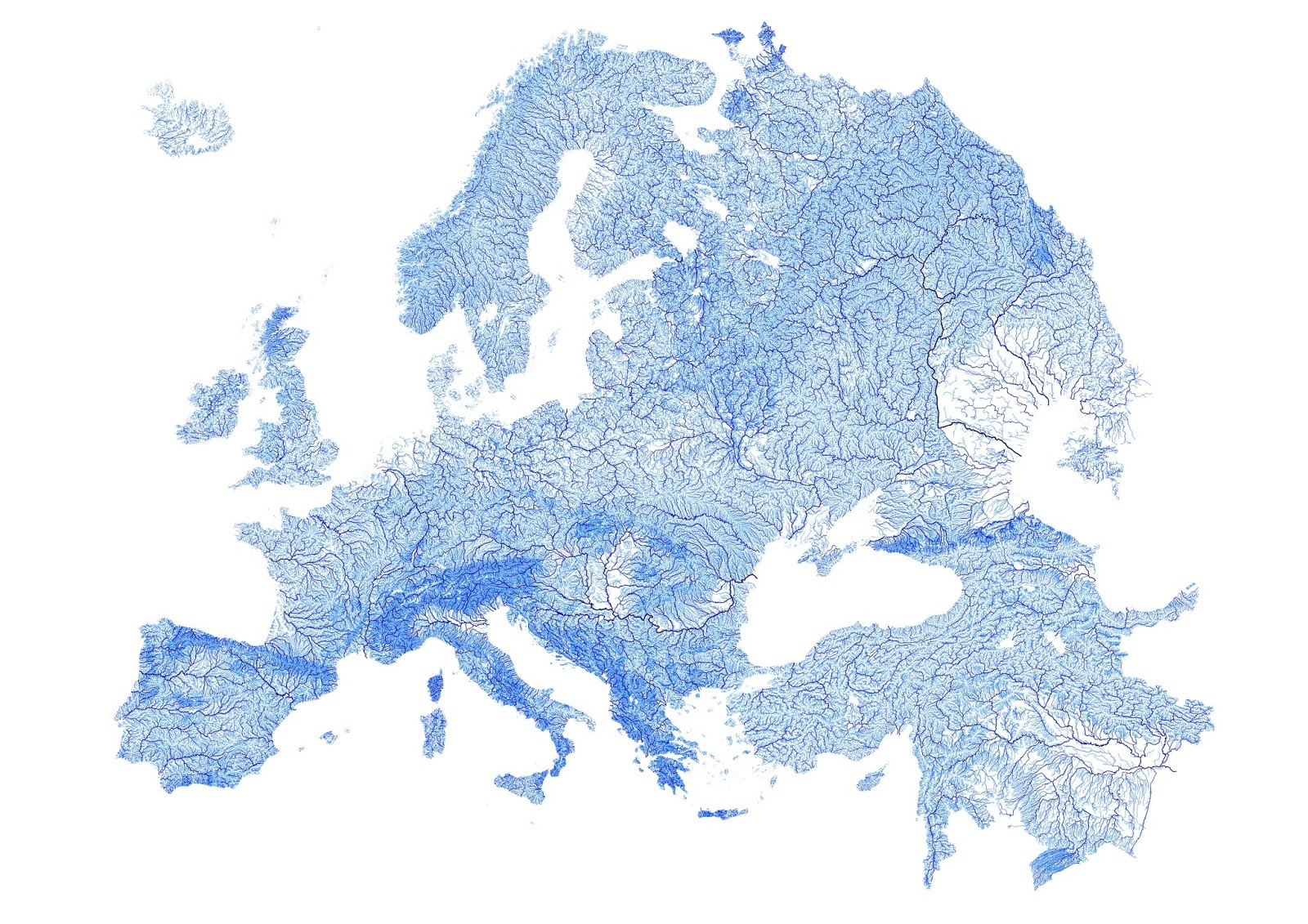
Denmark plotted by every mapped stream & river
Map created with open-source QGIS using data for 1.35 million streams from 1:250000 scale European Environment Agency Catchments and Rivers Network System spatial vector datasets. Rivers are weighted according to Strahler hierarchies: from first-order streams to major rivers into which thousands of smaller streams flow.
Source: www.etsy.com/en/listing/277526538/every-mapped-river-and-stream-in-europe?ref=featured_listings_row
Related posts:
– Australia plotted by every mapped stream and river.



ArcGIS: Vector maps offer the highest possible resolution for HD and Retina displays
Maps can be rendered without visible pixilation at the largest scales yet the vector format is much smaller than raster tiles of equal quality. The efficient files sizes work well in a variety of applications including mobile access by reducing the amount of data transferred to clients for high quality drawing.
Vector Tiles is a high priority driver for ArcGIS Pro 1.2. The goal is to enable users to create beautiful and efficient vector tile maps from their own data in Pro, publish them as vector tile services and consume them across the platform including Pro. This also adds a paradigm shift in authoring multi-scale maps, by moving away from the traditional multi-scale maps with one group layer per LOD to adding multi-scale support to layers and legend classes. This simplifies the maps greatly.