Mapzen’s new bike map
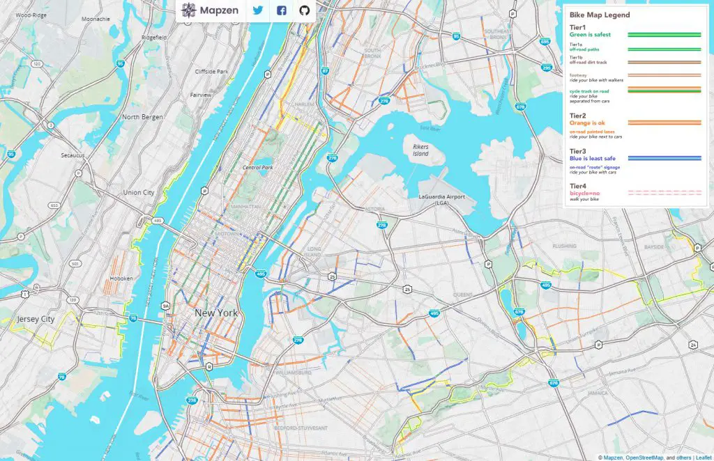
Sometimes finding a bike route can be as hard as biking up a hill. Mapzen’s new bike overlay for Walkabout shows the way and is enabled by fantastic bike data in OpenStreetMap and Tangram’s shader magic.
Roads and paths have been categorized into three tiers based on safety: green – off road bike paths (safest), orange – on road bike lanes (less safe), blue – no bike lanes (least safe).


