Norway covers a long stretch of northern Europe, with mountains, fjords, and huge empty areas. The country’s 5.6 million people mostly live in just a few cities – Oslo, Bergen, Trondheim, Stavanger – and some smaller places around them.
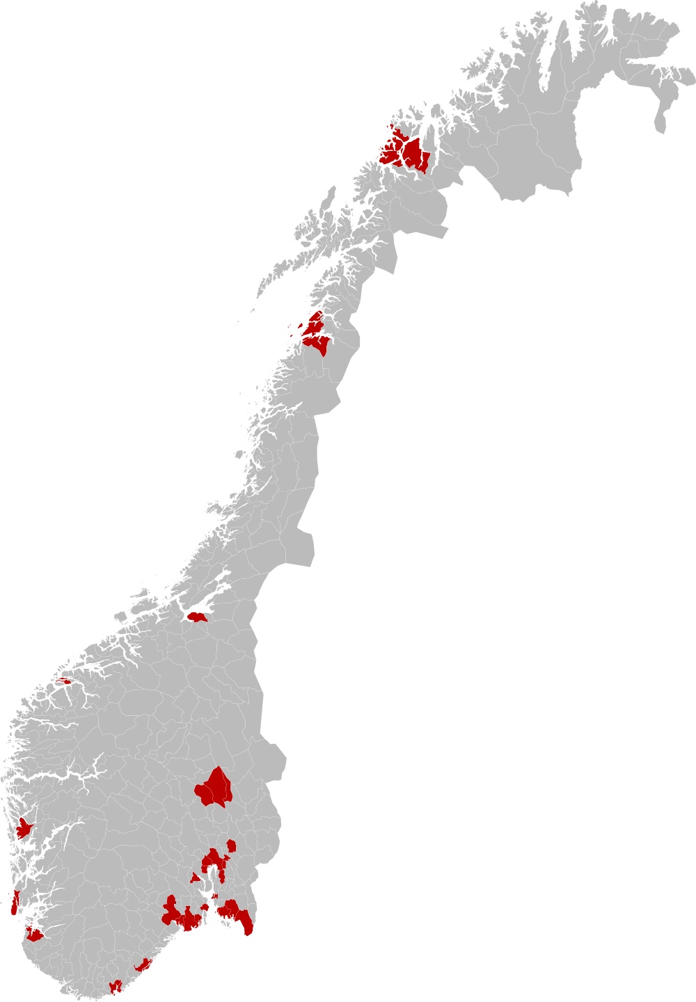
The map below shows where roughly half of Norway’s population lives.
Oslo’s the largest with about 580,000 people. That’s nearly one in ten Norwegians. Add up Bergen, Trondheim, and Stavanger with Oslo, and you get over 20% of the entire population. Include Drammen and all those suburban areas where people commute into Oslo, and you’re talking about more than half the country packed into one region.
City
Population*
% of Norway’s Population**
Oslo
~580,000
~10.3% (World Population Review)
Bergen
~213,600
~3.8% (World Population Review)
Trondheim
~212,700
~3.7% (World Population Review)
Stavanger/Sandnes
~144,900
~2.6% (Worldometers)
Drammen
~103,000
~1.8% (Worldometers)
Growth today is strongest around Oslo, where suburbs and neighboring municipalities keep expanding. Bergen and Trondheim are also gaining people, while some northern regions—especially parts of Nordland and Finnmark—are losing residents as younger people move south (Statistics Norway, ssb.no).
Another figure worth noting: nearly 82% of Norwegians now live in what’s officially defined as “urban settlements”. That share has been climbing for decades, and it helps explain why the shaded red area feels so dense compared to the rest of the country.