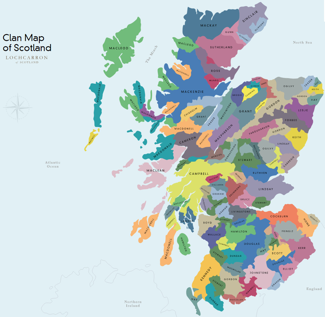
Map of the Southern and central portions of the ancient Scottish clan lands
The lands colored for each name indicate general spheres of influence, usually about the time of King James VI but taking the history of each district or family as a whole. Numbers on the map indicate smaller areas or former seats held by the name whose chief’s Arms in the margin are marking with the same number.