Czech Republic stereotype maps
Czechia is a landlocked country in Central Europe. The nation is separated into 13 regions and the capital city of Prague.
The country has a complicated history, echoes of which can be seen in the maps below.
The Duchy of Bohemia under Great Moravia became a kingdom in 1198, then in 1526 was integrated into the Habsburg Monarchy, and later in 1806 became part of the Austrian Empire.
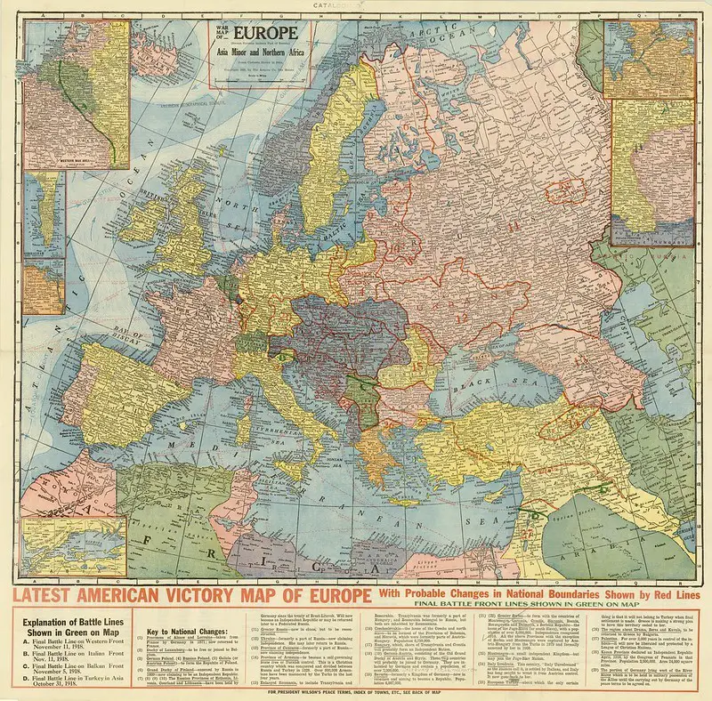
In 1918 most of the country became part of the First Czechoslovak Republic following Austria-Hungary‘s collapse after WWI. In 1938 Germany took control of the Czech territories. Czechoslovakia was revived in 1945 and became an Eastern Bloc communist state. In 1993, Czechoslovakia was separated, with its constituent states becoming the sovereign nations of the Czech Republic and Slovakia.
Map of present-day Czechia in 623 AD, 843, 907, 1243, 1619, and 1938

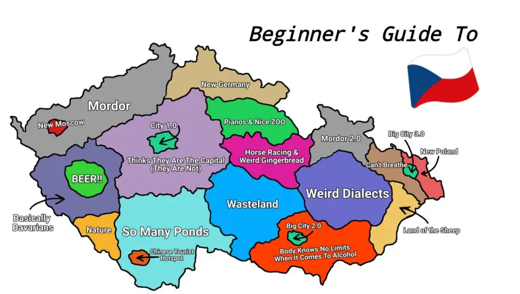
Beginners guide to Czechia

Czech stereotype map

9 Ways to divide the Czech Republic


