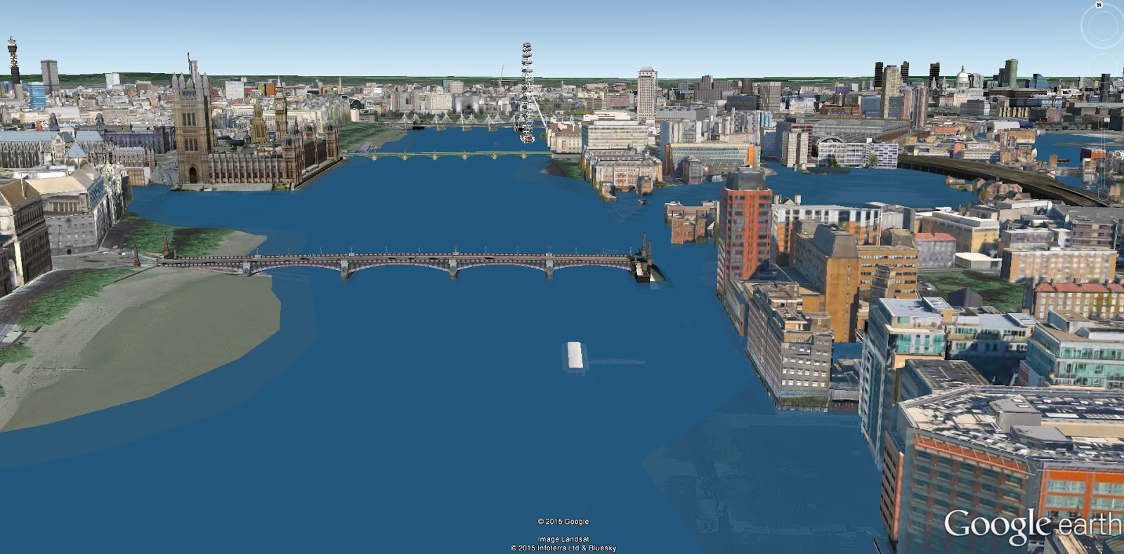
Climatecentral.org developed special KML layers corresponding precisely to the elevated global sea surfaces projected to inevitably occur after 2°C or 4°C of global warming in our recent scientific paper, published in the Proceedings of the National Academy of Sciences of the United States
Using science-based KML layers, scientists have created fly-over videos for many coastal cities around the world where 3-D building data is currently available on Google Earth. You can download the KML and make your own map.