CitiesMetro maps 
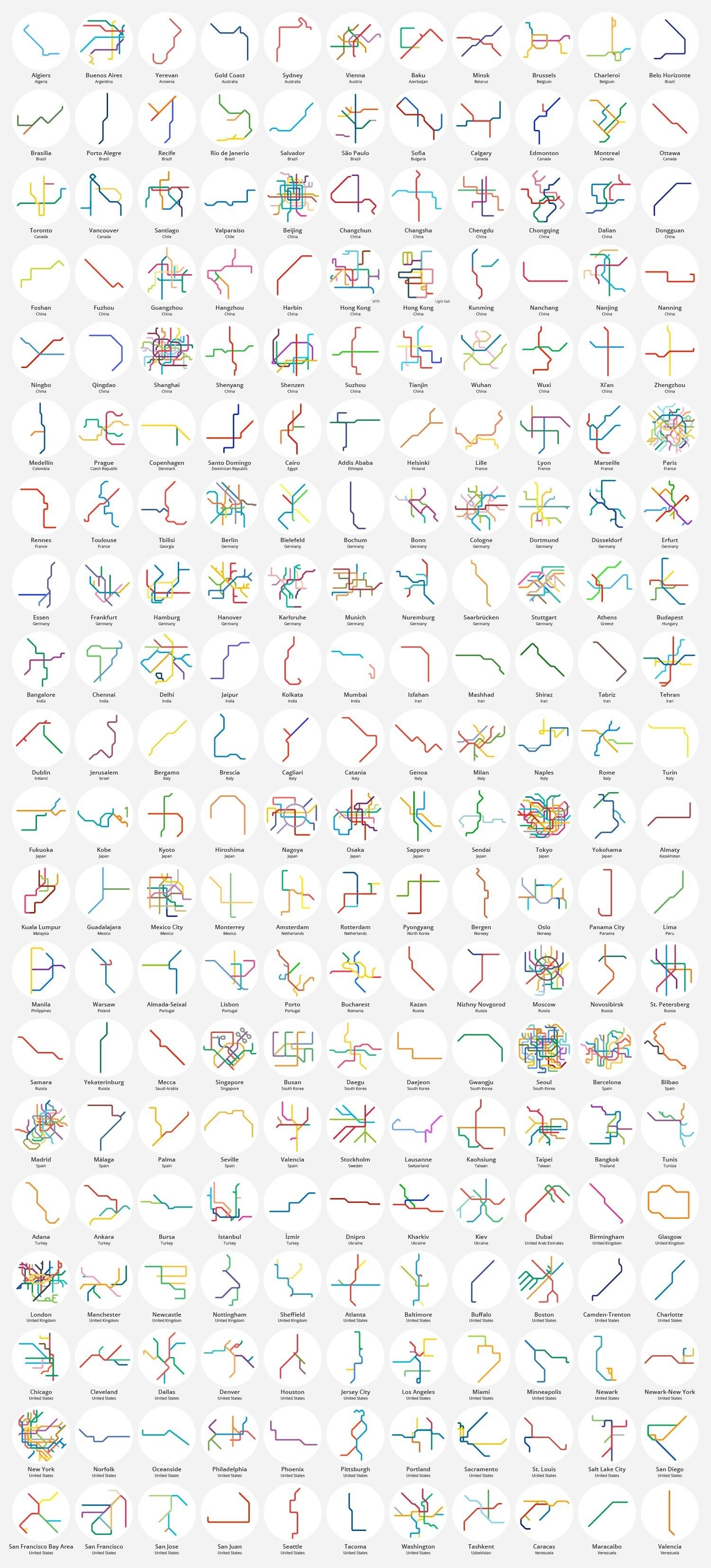
Metro systems from New York to Tokyo, shrunken and simplified January 16, 2017 Alex This post may contain affiliate links. As an Amazon Associate, we earn from qualifying purchases. 220 metro & light rail systems from around the world, shrunken & simplified. Related Posts:The Best World Atlases in 2025Population of Tokyo municipalities as a% of TokyoHow the World was Imagined: First Maps and AtlasesHow Every New York City Neighborhood Voted in the…New York City Maps: A Visual Journey Through the Big AppleThe Oldest Cities in the U.S. MappedLight Pollution in the United StatesPopulation Density and Urban Transit In Large World Cities