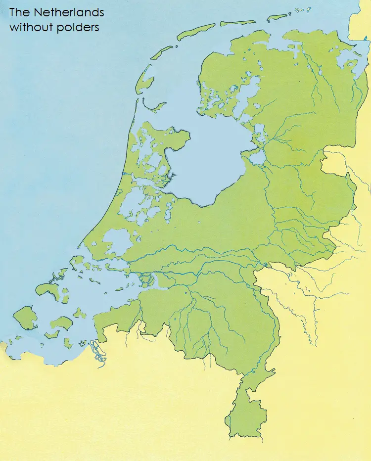
The Netherlands has more than three thousand nationwide. About half of the country’s territory was reclaimed from the sea (18,000 sq km / 6,800 sq mi), which potentially poses a threat to the country’s flooding.
Across the country, water boards called ‘waterschap’ were set up to keep the integrity of the water protection around polders, keep the waterways inside a polder, and manage the various water levels inside and outside the polder.
The 1953 flood accident urged a new method to design dikes, polders, and other water-retaining constructions, based on an acceptable possibility of flooding. Flood hazard is interpreted as the result of consequences and probability. The potential disaster in lives, property, and reconstruction costs is analyzed to the possible value of water defenses. These estimations follow an adequate flood risk from the sea at one in 4-10 thousand years, while it is one in 100–2,500 years for a river flood.
The maps below show what The Netherlands would naturally look like if they hadn’t built any dikes to prevent flooding.