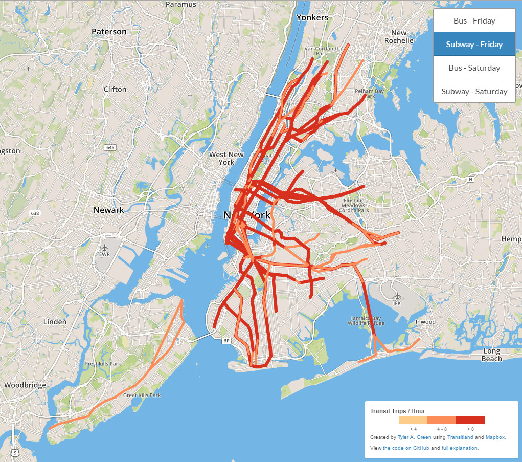
New York City Transit Flows
Blue: Buses
Green: Light Rail
Red: Subways
Yellow: Trains
Orange: Cabie cars
Pink: Ferries
Data from Transitland, an open-source data service sponsored by Mapzen. Visualization by Will Geary. The code here: github.com/transitland/transitland-processing-animation.


