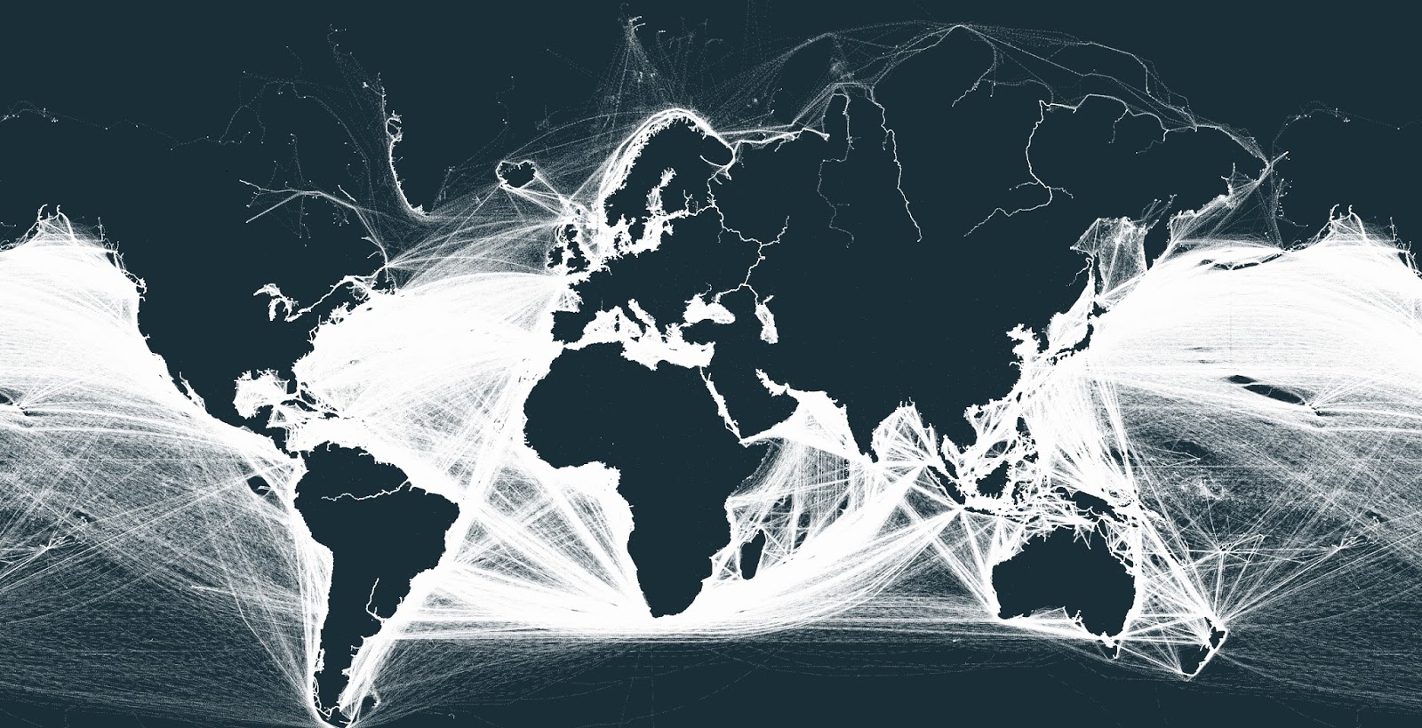
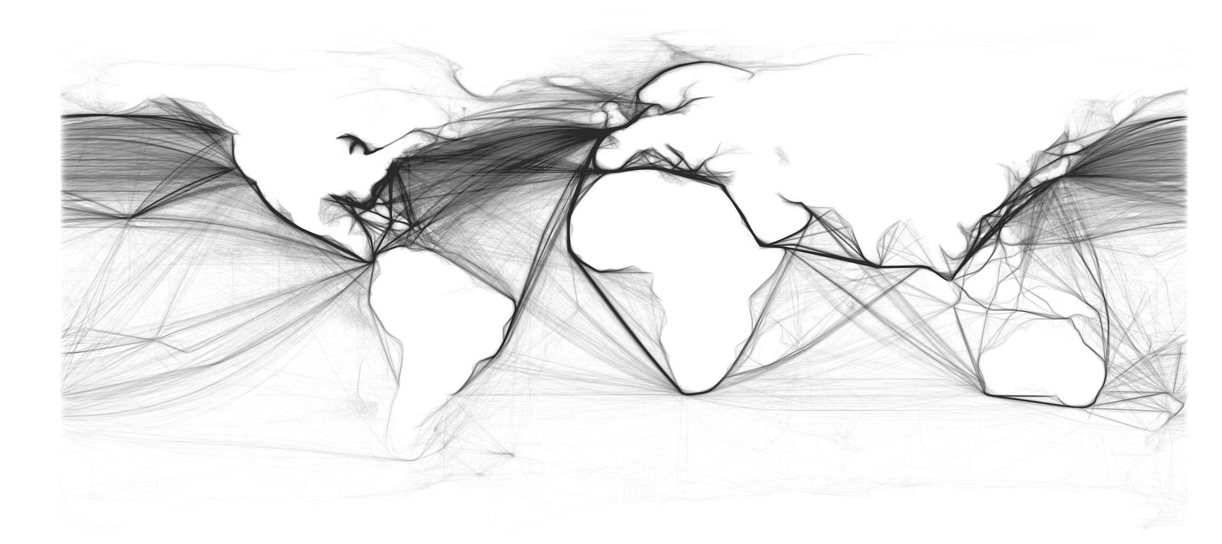
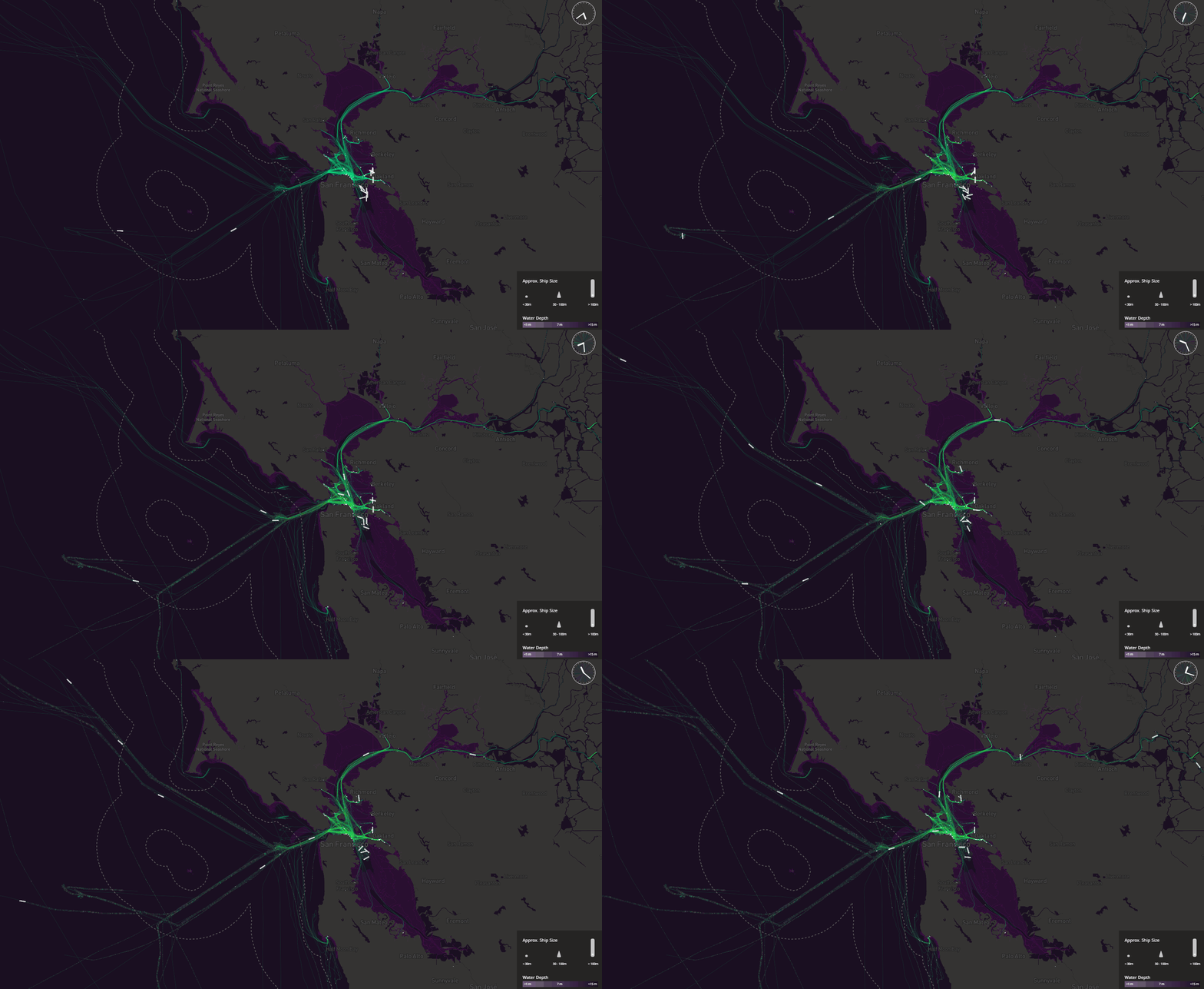
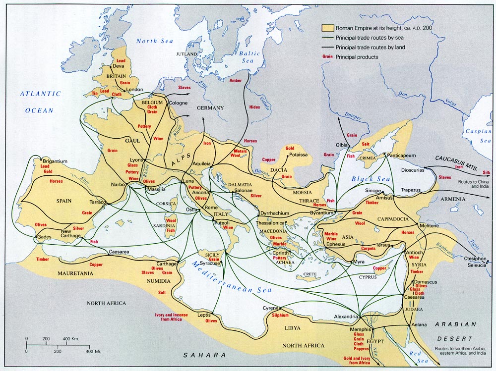
Interactive mapsMapping StereotypesTransport The outlines of continents can be visualized by shipping routes April 28, 2016 Alex Related posts: – An incredible visualisation of global shipping traffic – All the ships in the World ocean – Visualizing ocean shipping Related Posts:An incredible visualisation of global shipping trafficWhat traffic rules are different in different countriesHow the World was Imagined: First Maps and AtlasesAn incredible visualization of global shipping trafficShipping lanes mappedAnimated marine traffic in the San Francisco BayAll the ships in the World oceanLeft or Right? The Fascinating World of Driving Directions