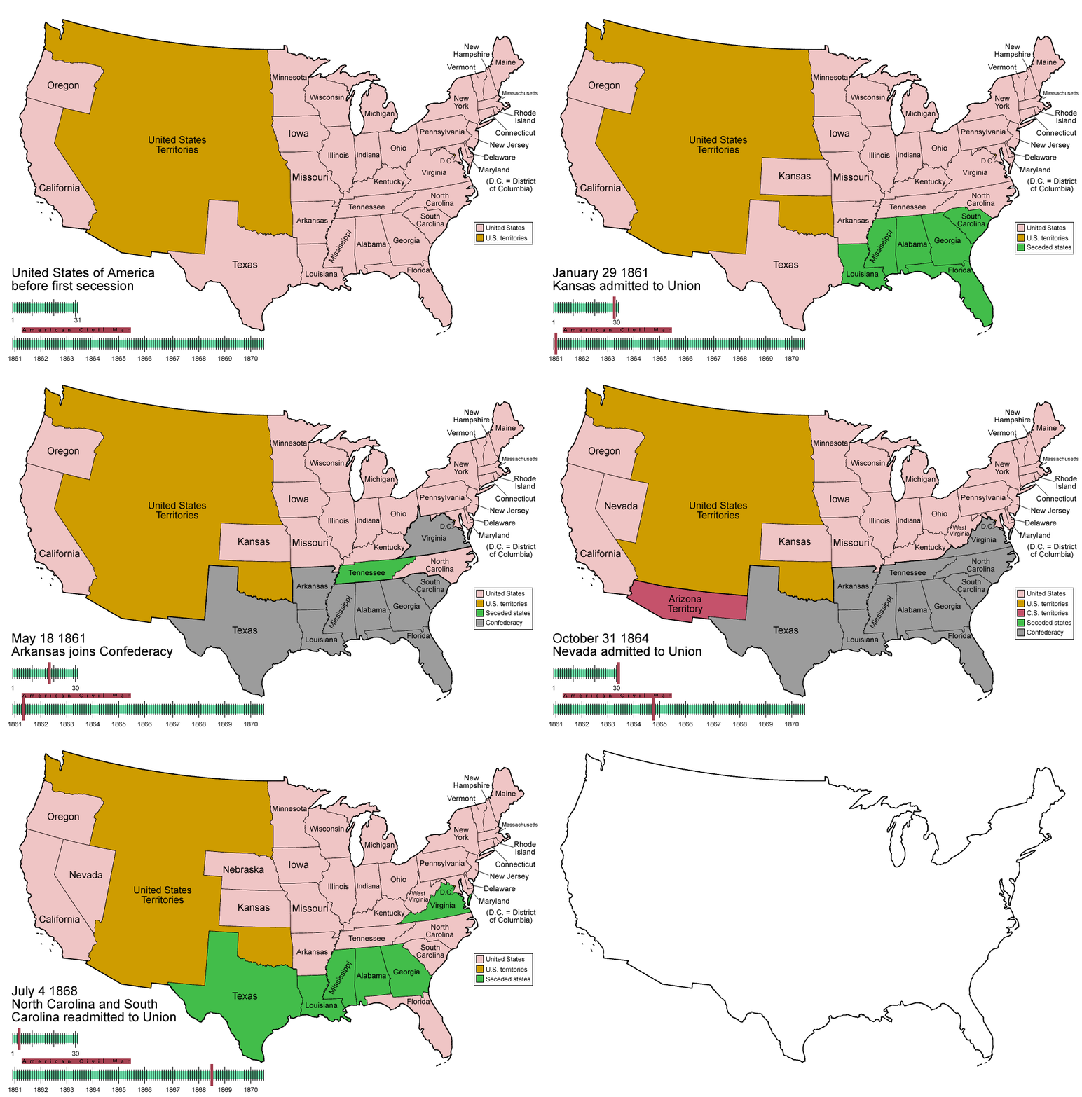
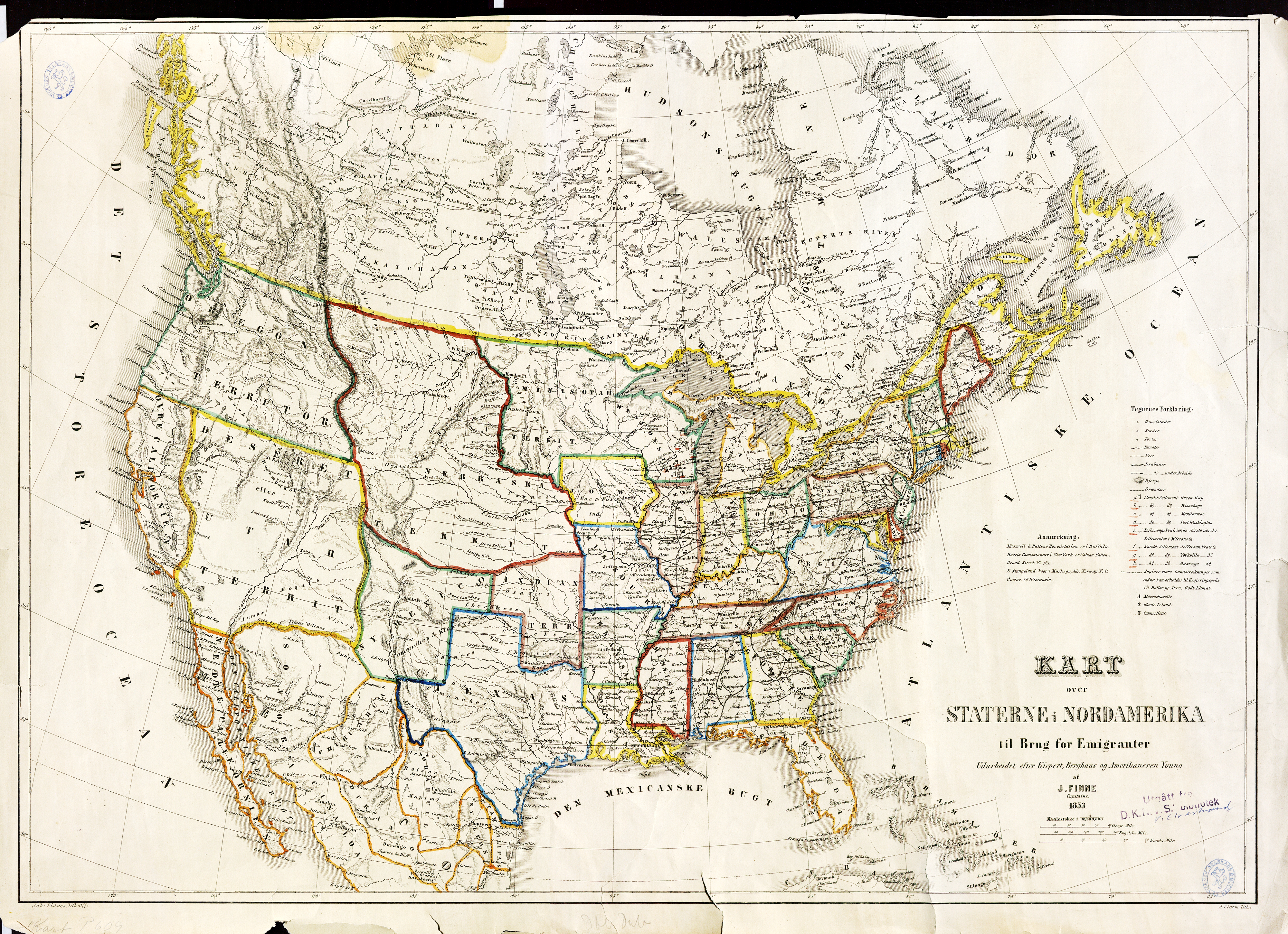
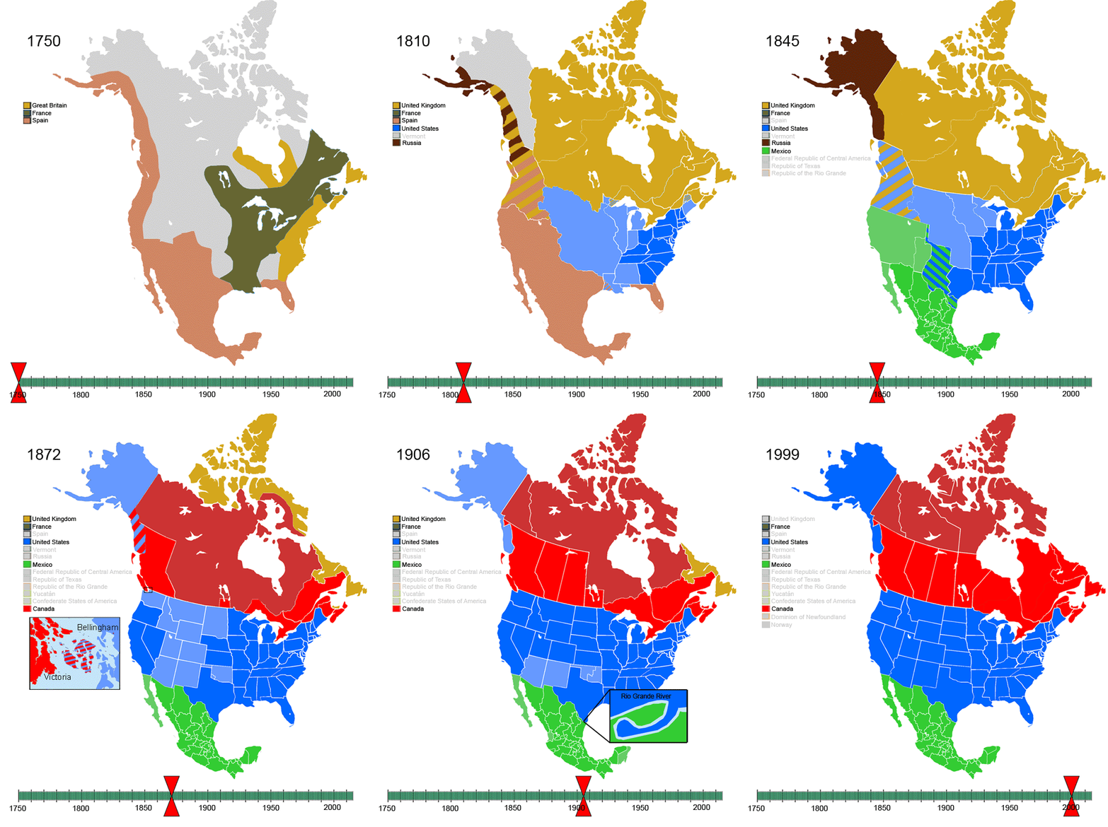
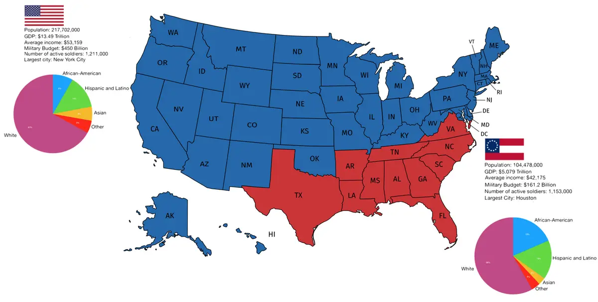
Animated mapsHistorical Maps Evolution of U.S. States with a focus on the Confederate States (December 20, 1860 – July 15, 1870) October 6, 2016 Alex Related posts: – USA boundary evolution – Territorial evolution of North America of non-native nation states from 1750 to 2008 Related Posts:Solar Eclipses Paths MappedHistorical Maps of the United States and North AmericaCountries at its territorial peakPercentage who have not Consumed Alcohol in the last…The Deadliest Month in Every U.S. StateWhen each U.S. states population exceeded 1 million…The Oldest Cities in the U.S. MappedThe Rise and Fall of Civilizations: An Animated Map…