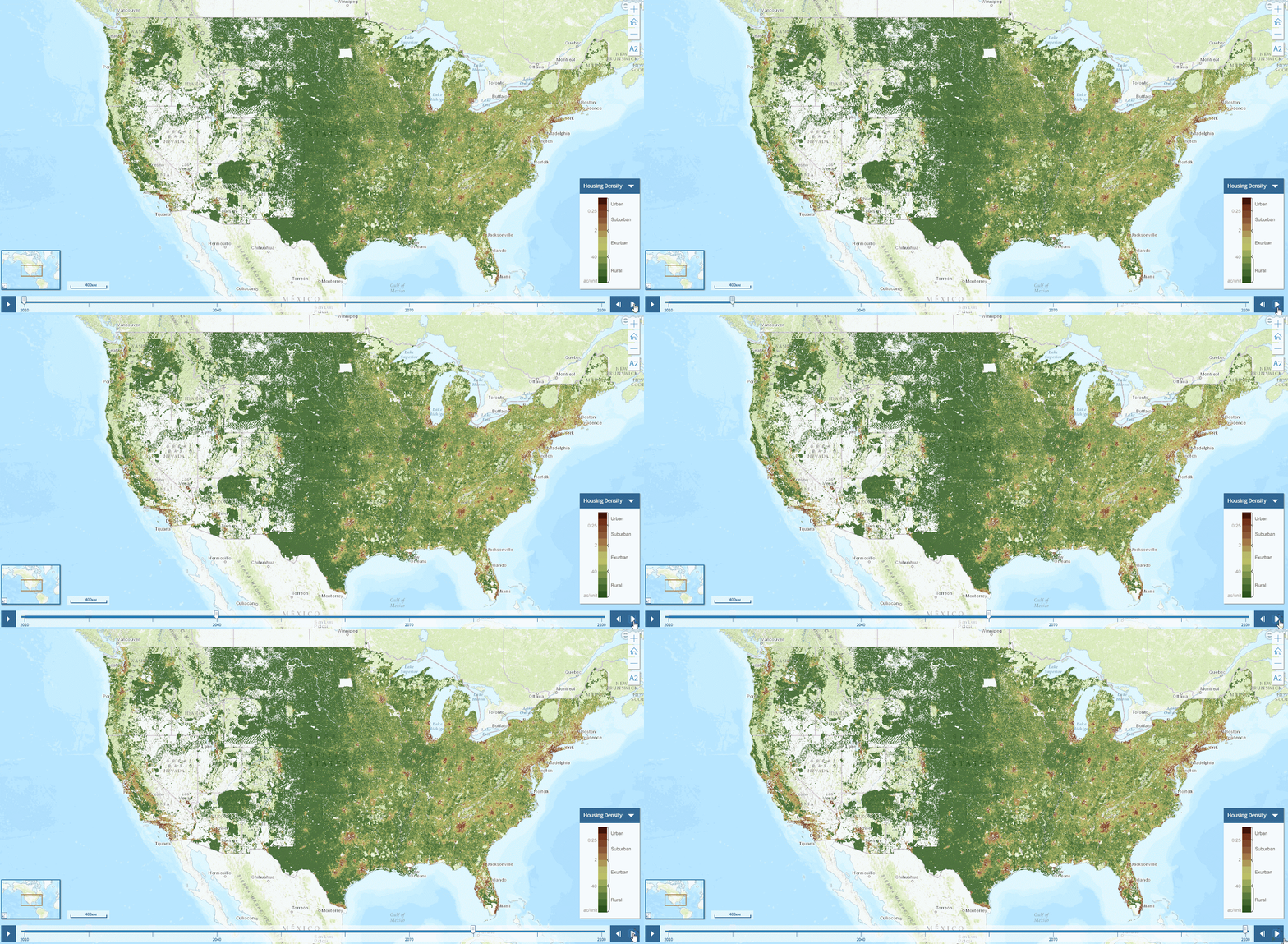
Mapping land use scenarios
The Integrated Climate and Land use Scenarios (ICLUS) outputs are derived from a pair of models. A demographic model generates population projections for all counties of the conterminous United States to the year 2100. Those projections drive a spatial allocation model that distributes new housing units across the landscape in response to population growth.

