When you imagine the Sahara, you think of endless dunes, sharp rocks, and the scorching sun beating down, right? That’s the mental image for just about everybody. But imagine jumping back roughly 8,000 years – the whole area would look totally unfamiliar. North Africa had these massive grasslands spreading out everywhere, small lakes sparkling here and there in the light, and people actually getting around by boat, crossing huge parts of the continent like it was routine.
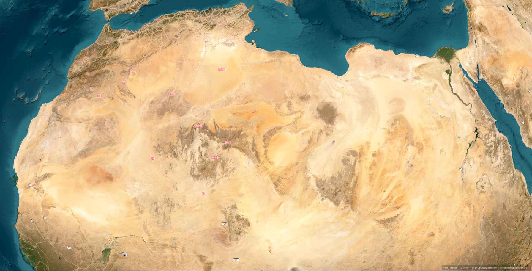
Cartographer Carl Churchill created a map that recreates the scene, drawing on research about the African Humid Period, which lasted roughly from 7000 to 3000 BCE.
Back then, the weather patterns were very different from today. The monsoons would push a lot farther north, bringing steady rain to spots that might not get any for years today.
Churchill’s map really puts the spotlight on Lake Chad – it’s enormous. These days, it’s dwindled to a tiny piece of what it used to be. Then there’s Lake Darfur sitting in western Sudan, along with Lake Ahmet. Over in Tunisia and Algeria, the Chotts were actual lakes full of water, not the crusty salt depressions they turned into. Folks back then treated these lakes like natural routes, jumping from one to another to travel across the land.
How do we know any of this is real? Well, satellites help a ton – they can detect old riverbeds right from space. It’s kind of spooky, seeing these faded marks on the ground where water once flowed strong.
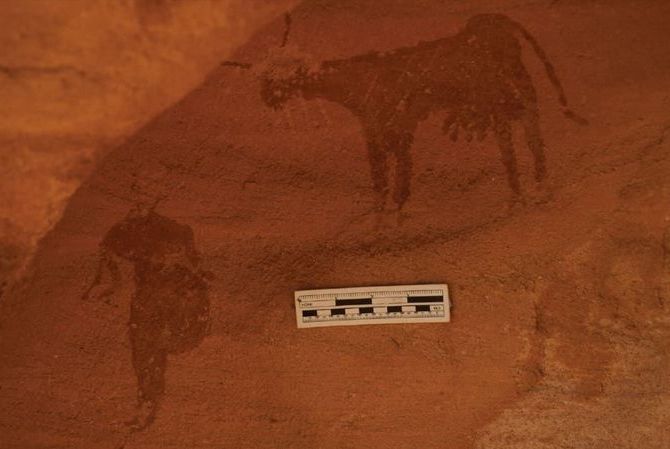
A depiction of a human and a cow discovered in a Sudanese rock shelter (Image credit: Julien Cooper)
The rock art is what seals it for scientists, though. Spread out across the Sahara, you’ve got these old carvings and paintings of hippos, crocodiles, and giraffes. I mean, really, who’d bother illustrating a hippo in a bone-dry desert? Those animals only hang around where there’s constant water.
Don’t forget the sediment cores either. Researchers drill down into what used to be lake beds and extract these long tubes of built-up dirt. From Lake Chad, they find pollen stuck in there from grasses and plants that only grow with regular rain. Every layer gives a peek into what was growing at different points in history.
The change didn’t happen super slowly all the way through; it sped up at some point. Over thousands of years, shifts in how Earth orbits messed with the monsoons in Africa. Rain started dropping off, plants thinned out, and the uncovered sand reflected more heat, which made things drier still. It became this runaway process, and around 3000 BCE, the desert was mostly formed.
Sure, Churchill couldn’t get every lake’s outline spot-on – there’s too much patchy evidence over such a giant area. But the main idea? That’s undisputed. The grassy regions turned into desert, and it totally reshaped where people lived and how they got around in Africa.