British Empire

Political maps

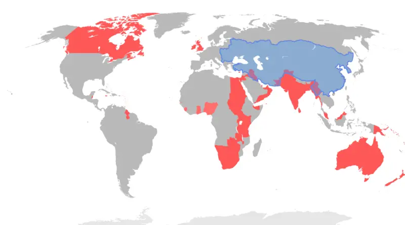
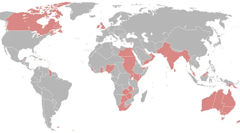
Mapping Monarchy Support Across 15 Commonwealth Realms

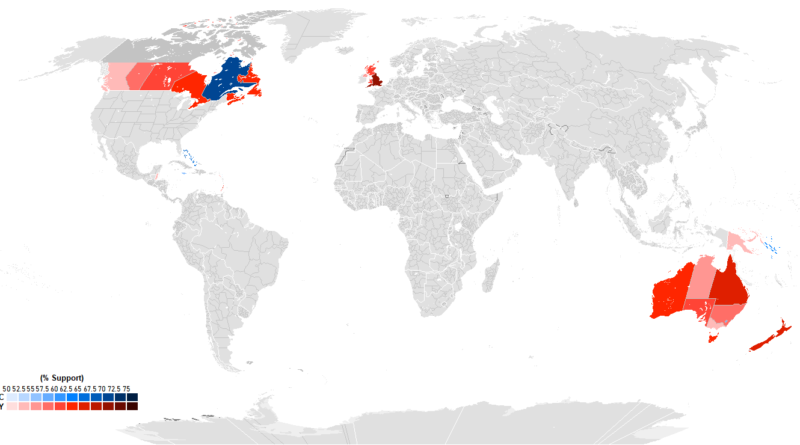
Recent polling from 15 Commonwealth realms shows huge differences in how people view having King Charles III as head of state. England leads at 76% monarchy support, with Tuvalu second at 73%. Quebec goes 70% for a republic, standing apart from other Canadian provinces. The Bahamas hits 65% republican sentiment, Jamaica 55%. Australia’s Capital Territory is the only part of that country preferring a republic at 59%. Caribbean nations cite colonial history as a major factor in their views.

Read More
Historical Maps

European Colonial Shipping Lanes

British colonial shipping lanes covered vast expanses, connecting the British Isles to North America, the Caribbean, South Asia, and the Pacific. Spanish lanes were primarily transatlantic, centered on the Atlantic Ocean and Caribbean. French routes spanned the Atlantic, Indian, and Pacific Oceans, reaching North America, the Caribbean, Southeast Asia, and the South Pacific. Dutch shipping lanes had a global reach, including the Indian and Pacific Oceans, with a strong presence in Southeast Asia and the East Indies.

Read More