Interactive mapsMapping StereotypesOld maps Austria (1806 – 1869) July 1, 2016 Alex Related Posts:The Ephemeral States of the Napoleonic PeriodPercentage who have not Consumed Alcohol in the last…Austria stereotype mapsAtlas of Austro-Hungarian EmpireThe Alps in mapsHow a Divided Peninsula Became Italy in Just 11 YearsThe Holy Roman EmpireDialects of Austria

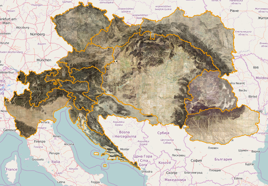



Imaginary map. From 1 year in period 1806-1869, You included Valahia (Romanian country). From 1859 was Romania. Earlier1859 the zone was independent or included temporary by Turks and temporary by Russia.