Austria stereotype maps
Austria is a little, predominantly mountain nation in the south part of Central Europe. Austria occupies 84 thousand square kilometers (32 thousand square miles) and has approximately nine million people. Austria is consistently rated in the top 20 wealthiest nations in the world by GDP per capita terms.
Austria is formed of nine federated provinces, Vienna, Austria’s capital and its most populous city. Seven of Austria’s 9 provinces have long historical traditions anteceding the Republic of Austria’s founding in 1918. The provinces of Burgenland and Vienna were organized after WWI. Most of Burgenland had been part of Hungary’s Kingdom, but it had a mainly German-speaking population and therefore became Austrian.
The map below shows what the provinces of Austria are famous for.

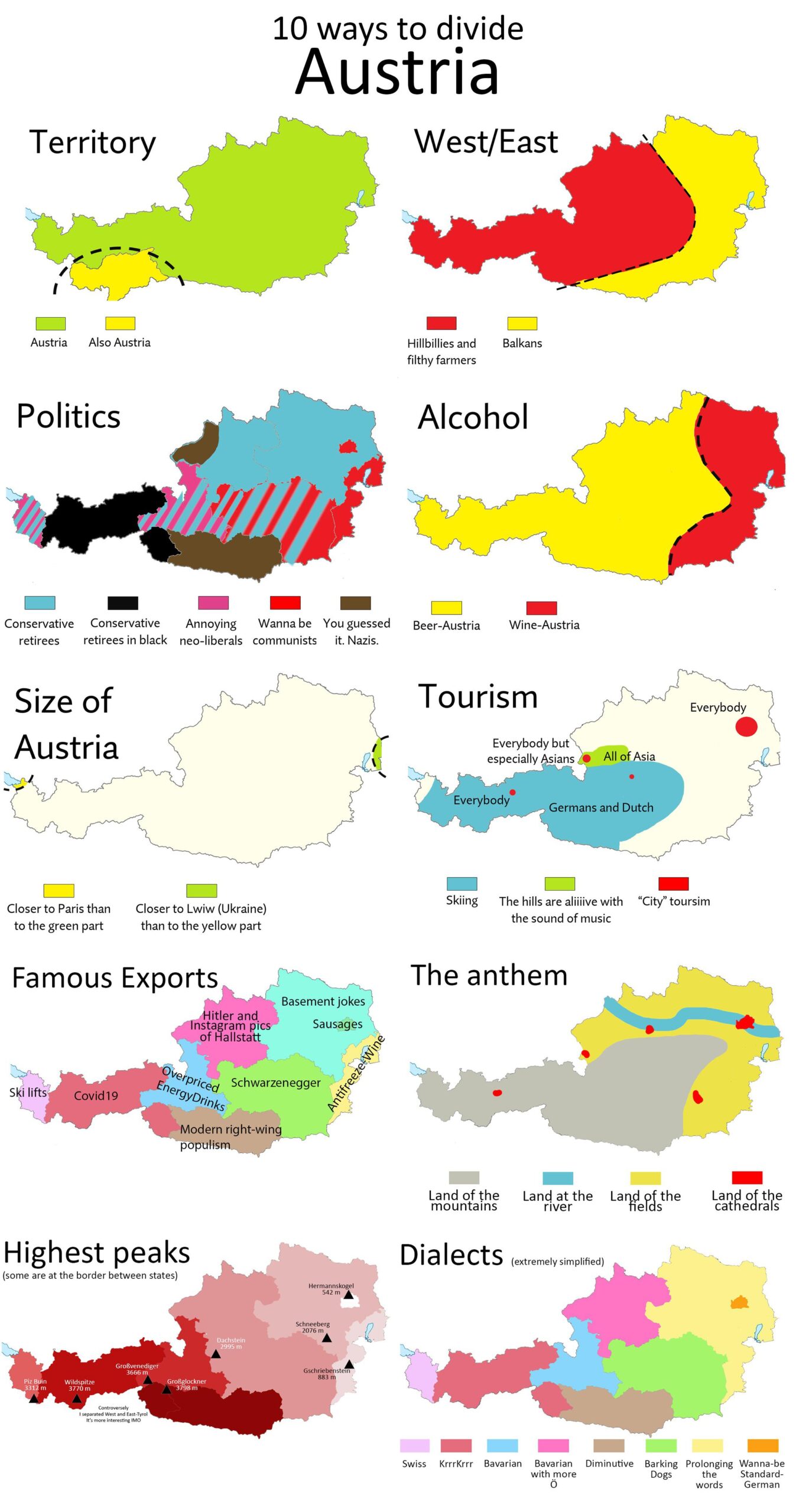
The map below shows another ten ways to divide Austria.
Tearing Austria apart