Greenland ice sheet is the second most extensive ice body globally, after the Antarctic ice sheet.
The Greenland ice sheet coating 1.7 million square kilometers or about 660 thousand square miles, approximately about 80 percent of the surface of Greenland.
The mean altitude of the ice sheet is 2,135 meters or 7,005 feet. The ice depth usually is over 2 kilometers (1.2 miles) and over 3 kilometers (1.9 miles) at its thickest point. Besides the giant ice sheet, smaller ice caps (Flade Isblink, Maniitsoq, etc.) and glaciers coat between 76 thousand and 100 thousand square kilometers (29 thousand and 39 thousand square miles) around the perimeter. The ice sheet comprises layers of condensed snow from over 100,000 years. If the whole 2.85 million cubic kilometers (684 thousand cubic miles) of ice were to dissolve, it would lead to a 7.2 meters (24 feet) global sea-level rise.
According to many climatologists, a growth of 2 or 3 degrees Celsius would cause a total melting of Greenland’s ice. The map below shows Greenland without an ice sheet.
If the whole 2.85 million cubic kilometers (684 thousand cubic miles) of ice were to melt, global sea levels would increase 7.2 meters or 24 feet.
Currently, Greenland is losing approximately 260 billion tonnes of ice to the ocean each year. At this rate, the entire Greenland ice sheet could melt within several centuries.
Below is an imaginary map of Greenland made by the cartographer Julien Dupont Kobri, which illustrates what Greenland will look like in summer in the future.

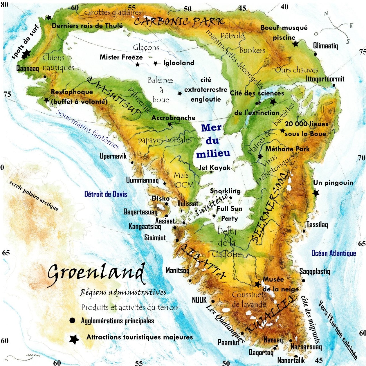


")


grenland shall be the 51st state. god willing.