Morningside Heights Historic District Explorer
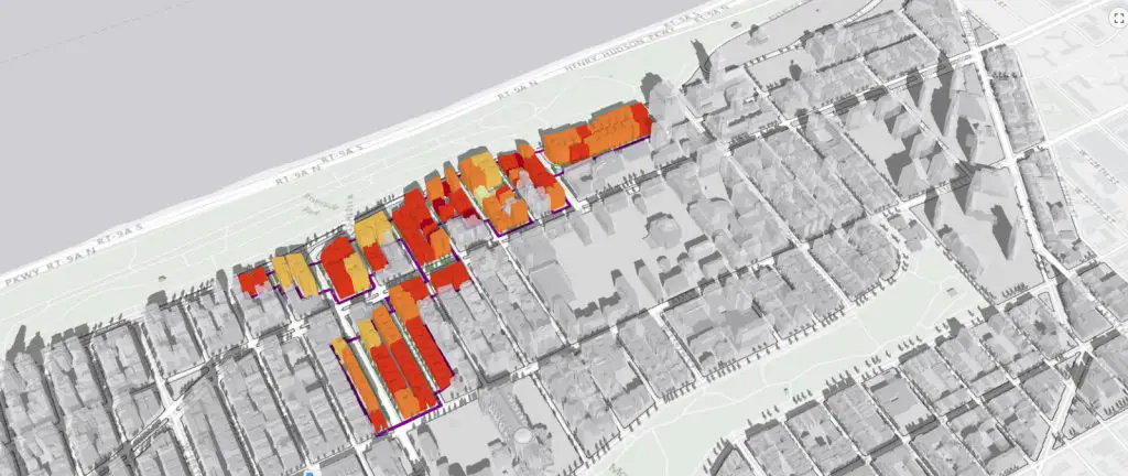
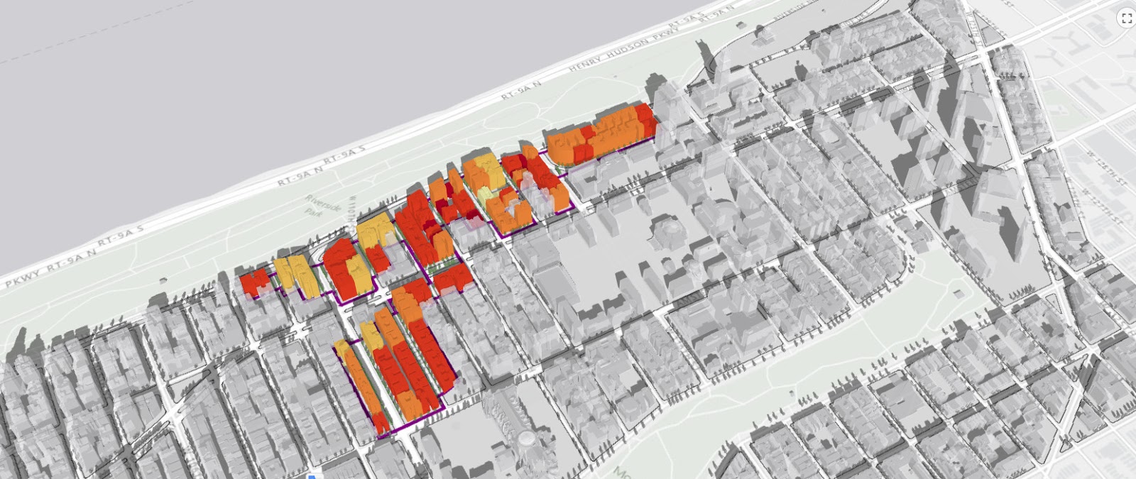
This 3D web map allows users to learn more about the Morningside Heights Historic District, which the New York City Landmarks Preservation Commission designated on February 21, 2017.
Click on any building in the district to activate a popup window that provides building information, a current image as well as a historic New York City tax photo. Within the 3D environment, users can pan, zoom and rotate around the Morningside Heights neighbourhood and focus on specific areas of interest within the historic district. The boundary of the historic district is represented by a purple line.
The buildings within the historic district have been assigned a colour according to the period of their construction. The colour range below illustrates the colour assigned to each period ranging from the late nineteenth century to the late twentieth century.
Related posts:
– Building Age New York City
– Every eviction case in New York City since 2013
– Building heights of Manhattan
… NYC maps

