Atlas of the Ottoman maps
This post may contain affiliate links. As an Amazon Associate, we earn from qualifying purchases.
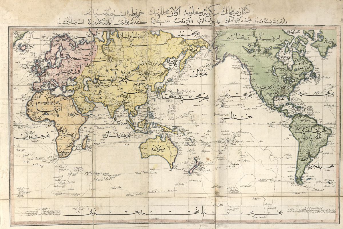
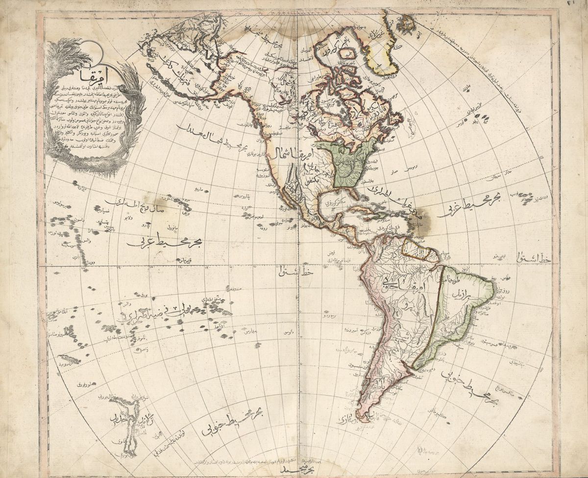
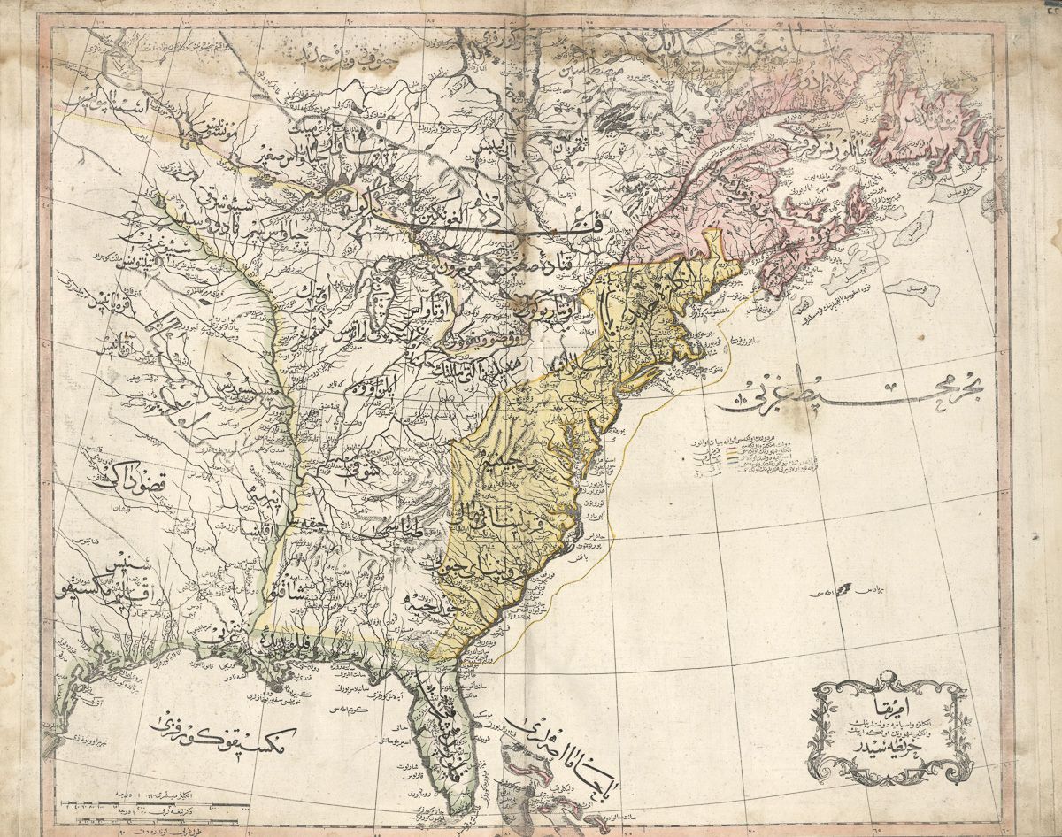
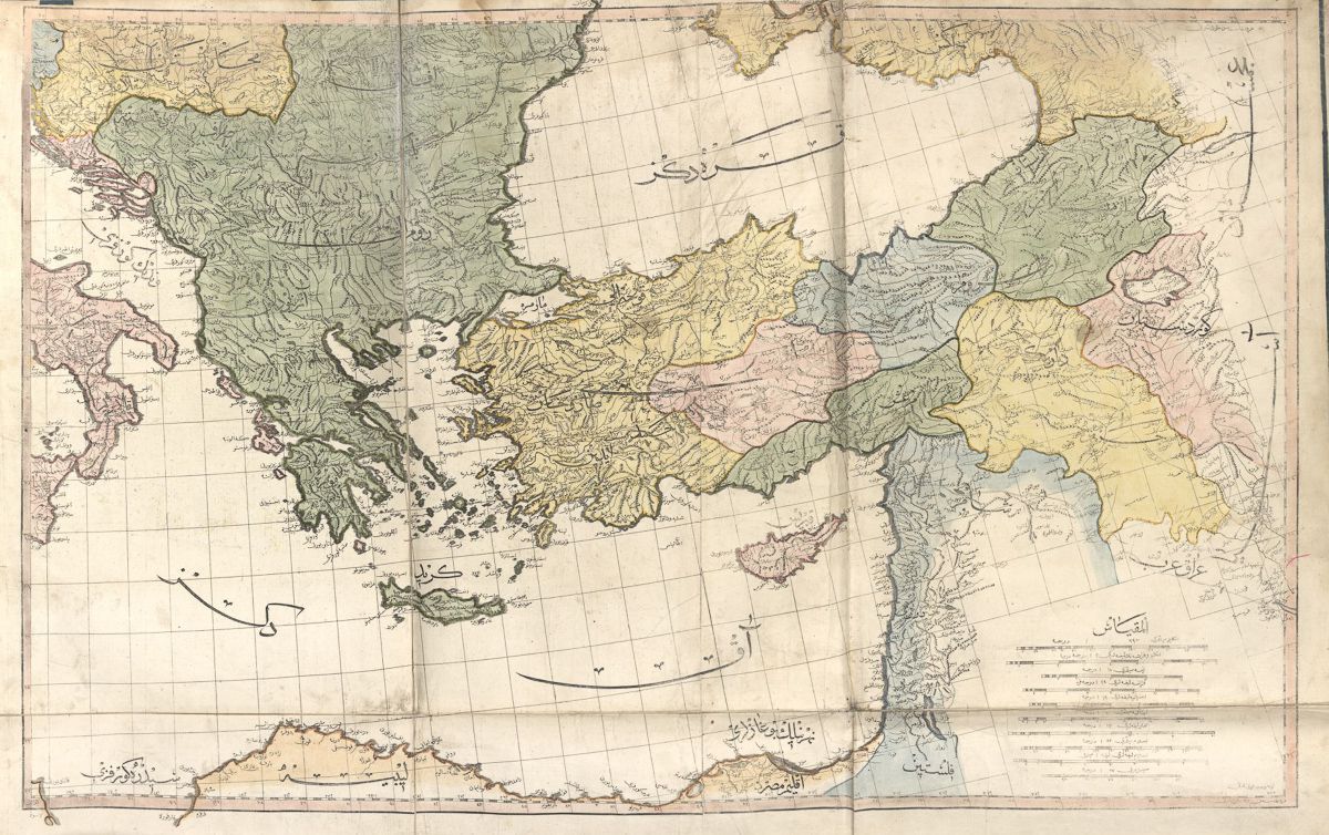
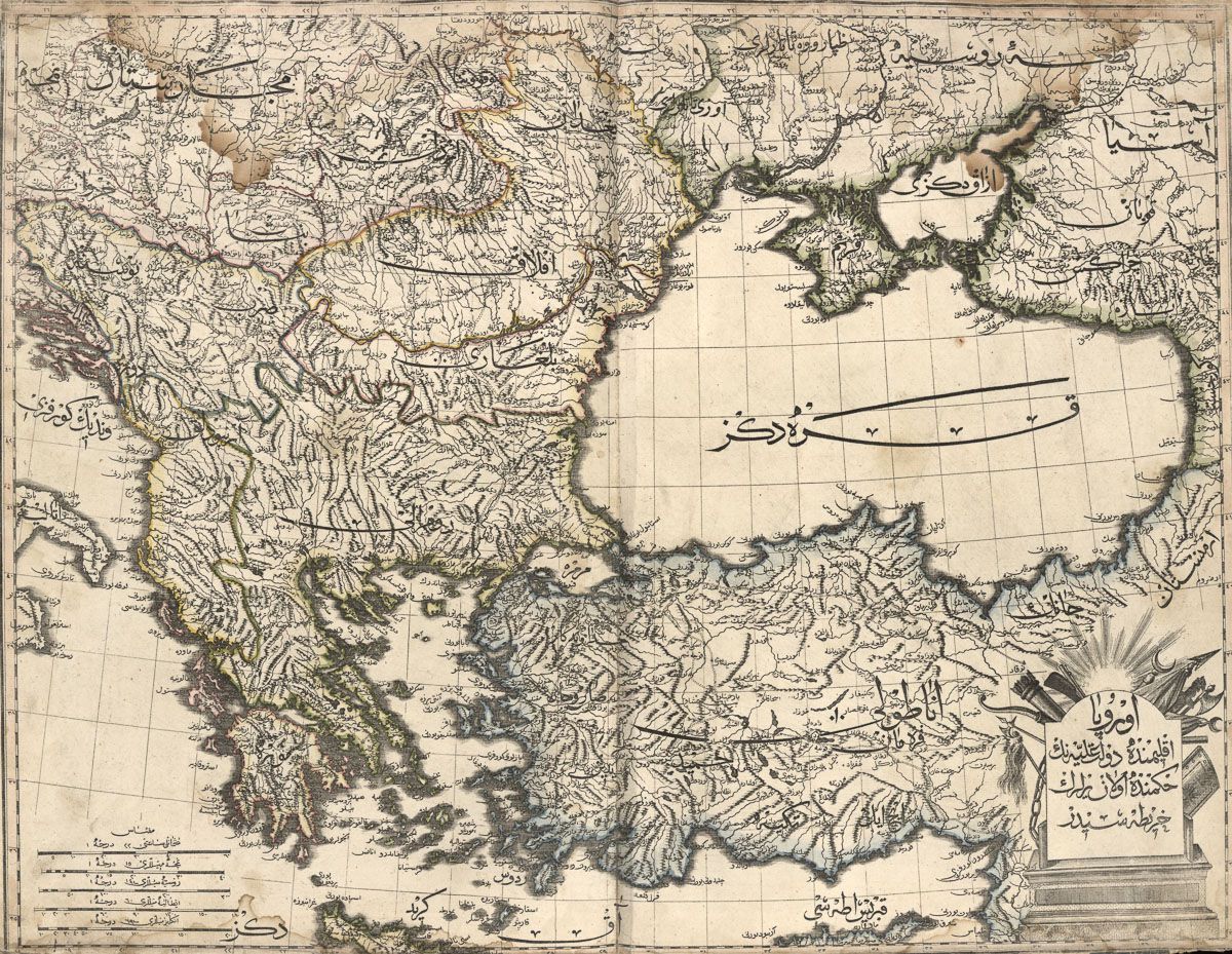
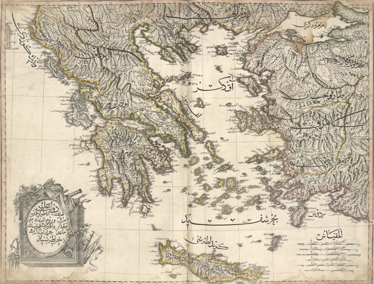
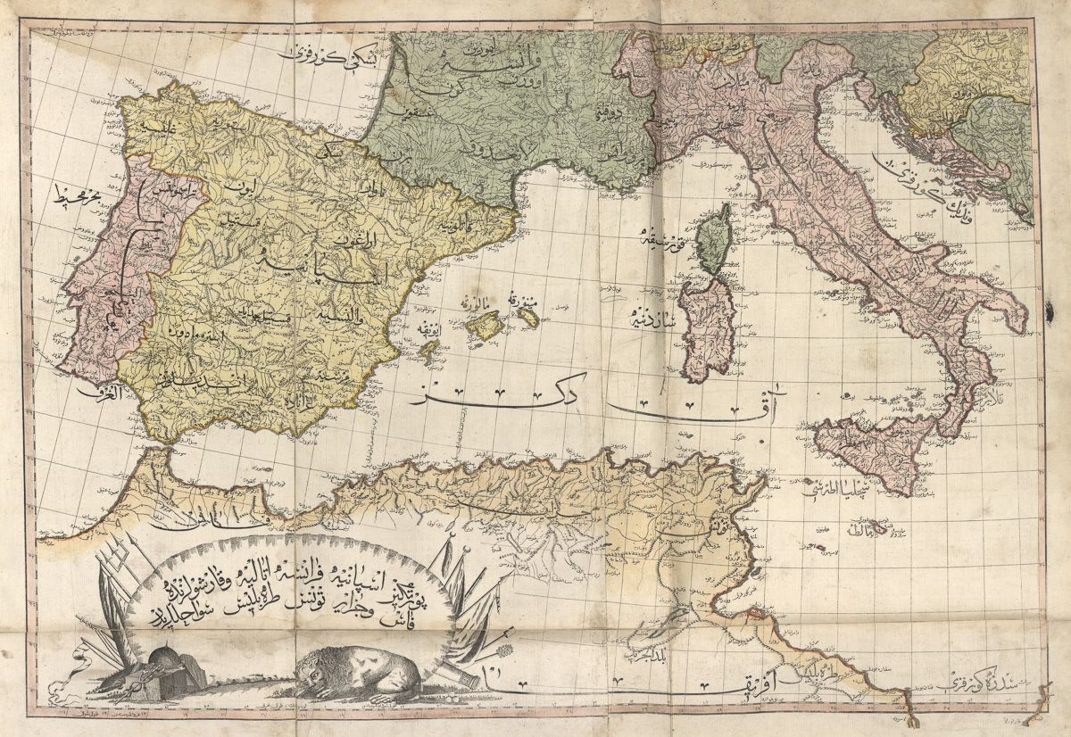
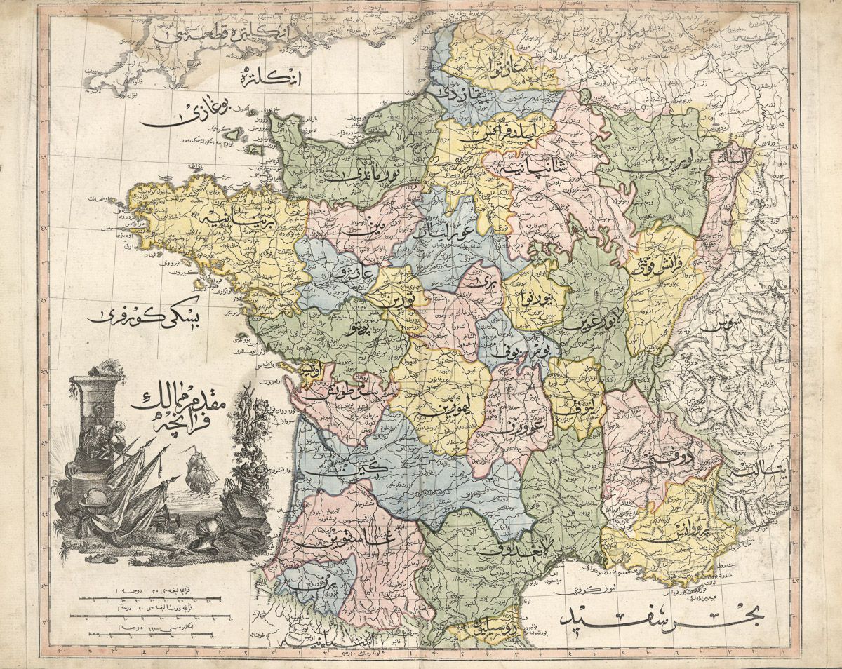
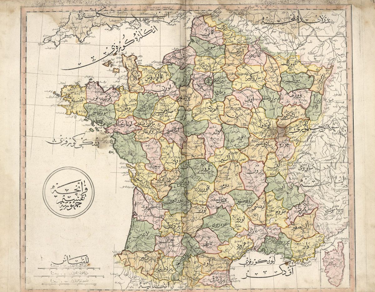
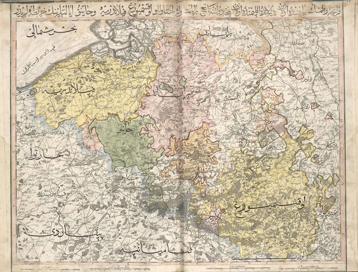
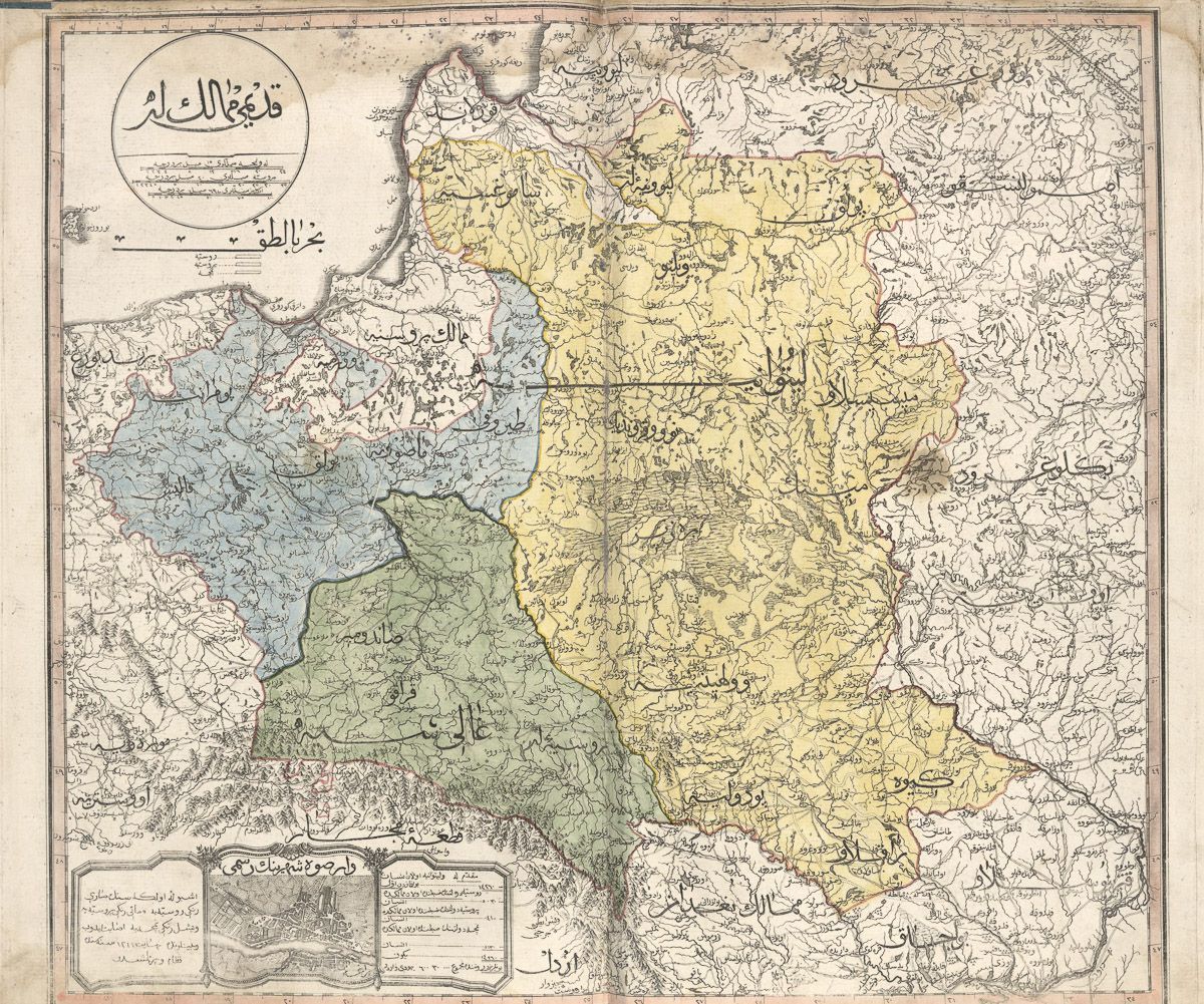
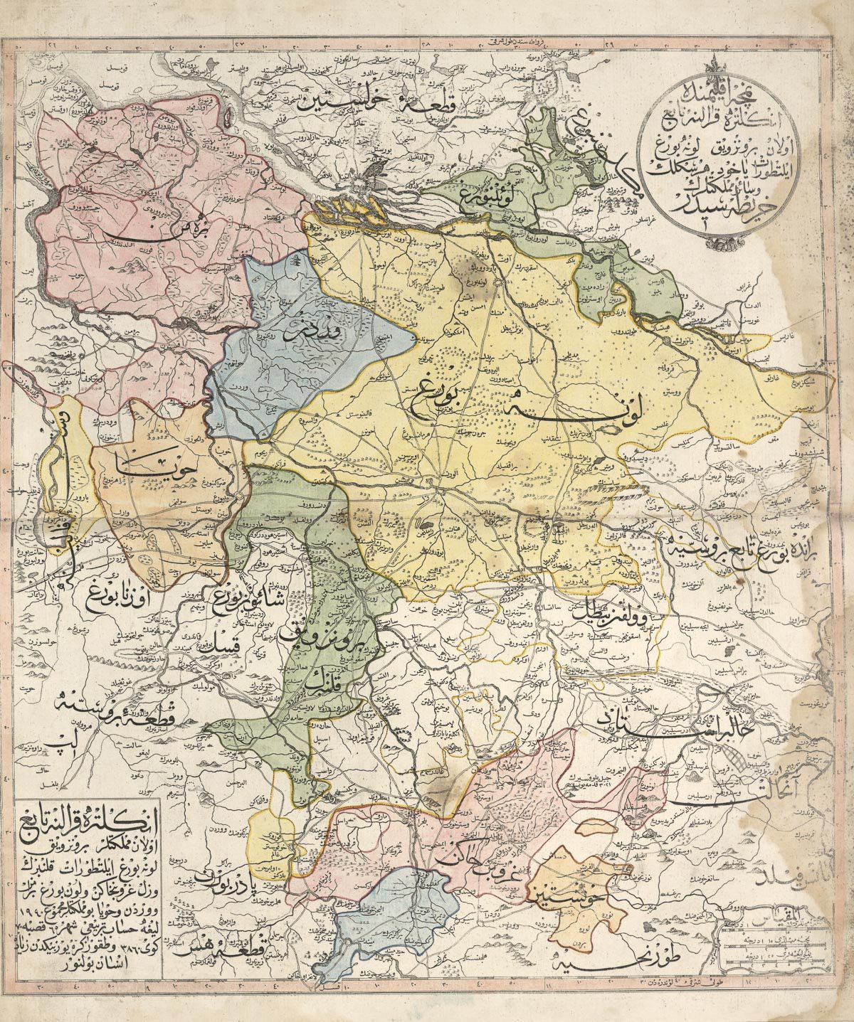
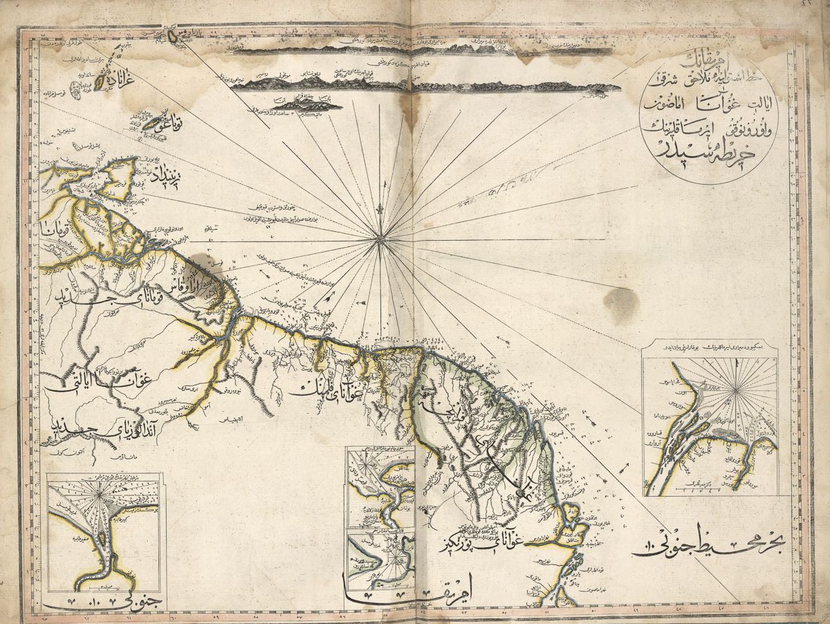
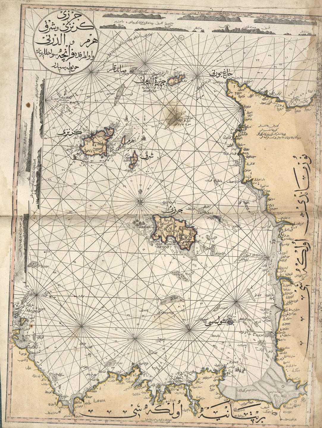
The maps of the Ottoman Empire offer a fascinating glimpse into a world where art, science, and geography intersected. For nearly 400 years, from the early 15th century to the late 18th century, the Ottomans created maps that reflected their unique cultural identity. These maps transitioned over time, evolving from traditional methods to the more precise cartographic techniques adopted from Western Europe.
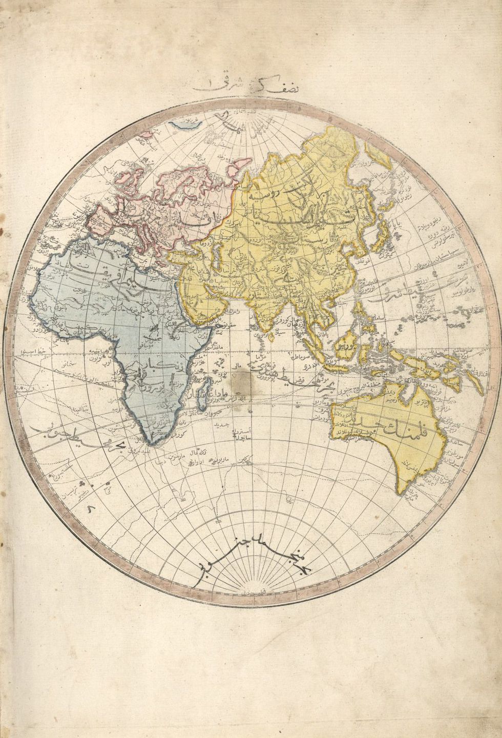
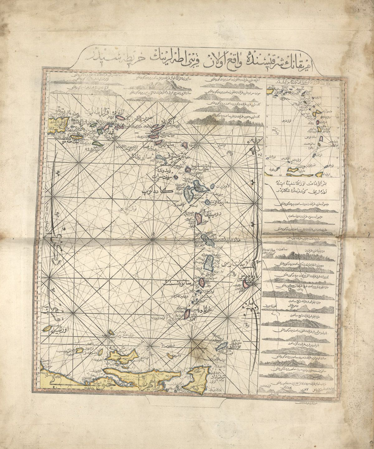
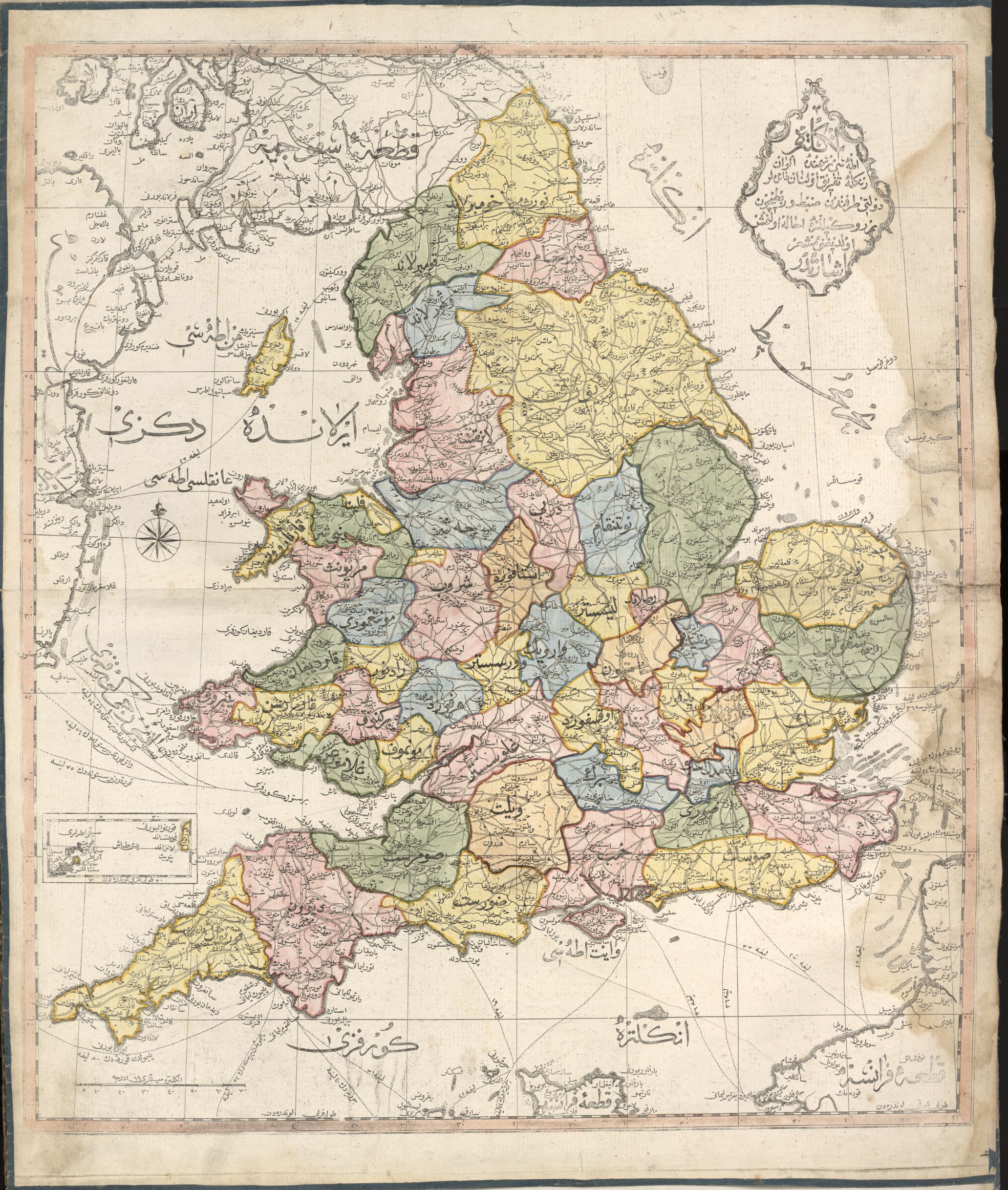
One of the most iconic mapmakers of the Ottoman Empire was Piri Reis. His work not only demonstrated remarkable accuracy for its time but also revealed how sixteenth-century Ottomans viewed the world. Below, you can see a map by Piri Reis that overlays his depiction of Europe onto a modern map.

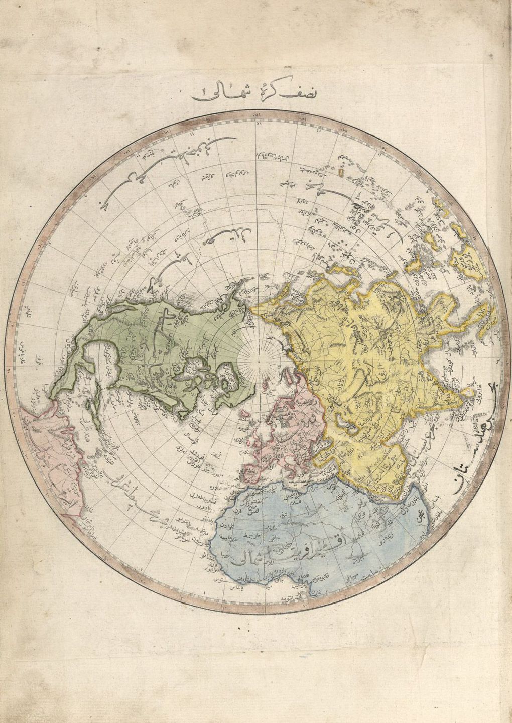
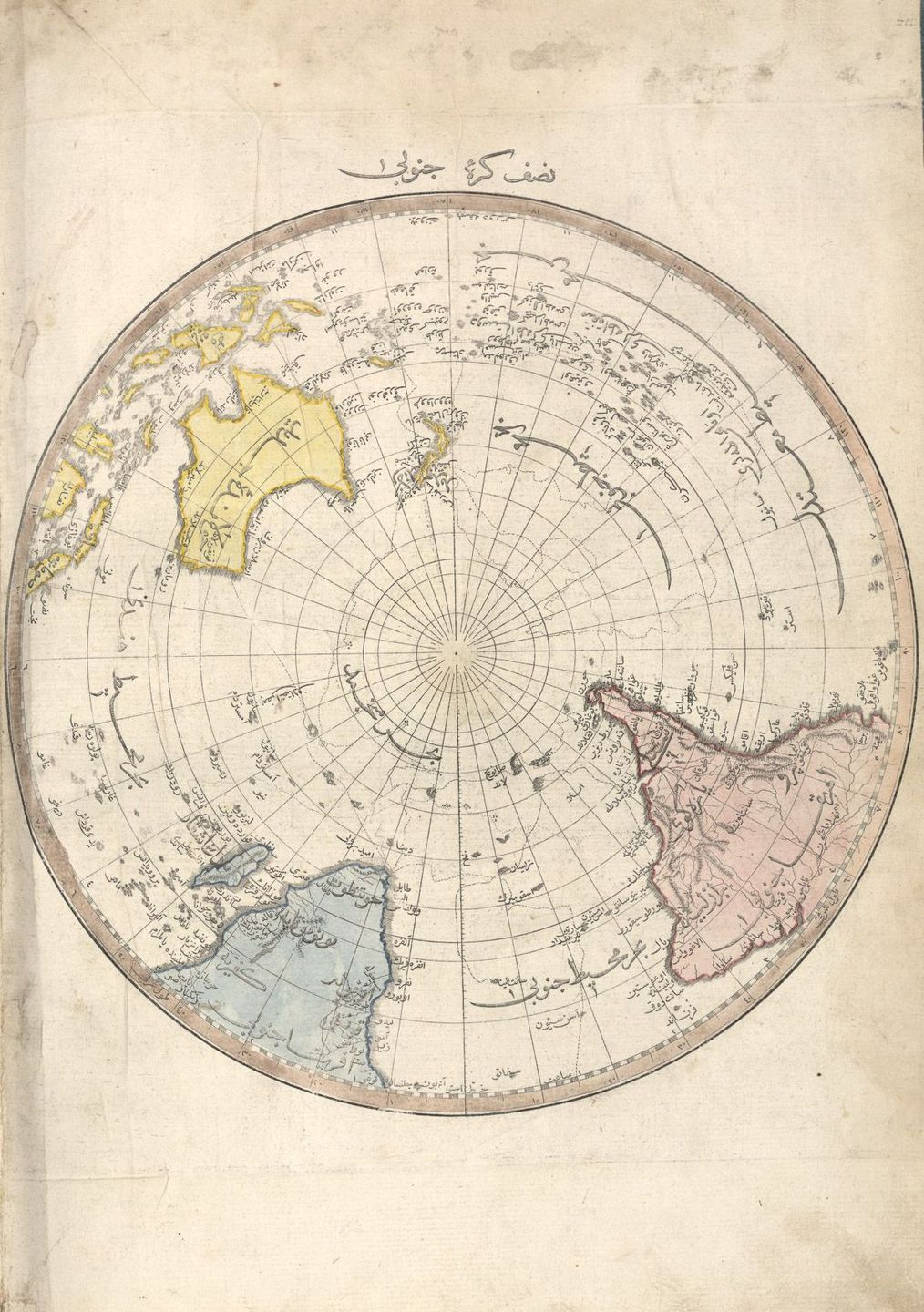
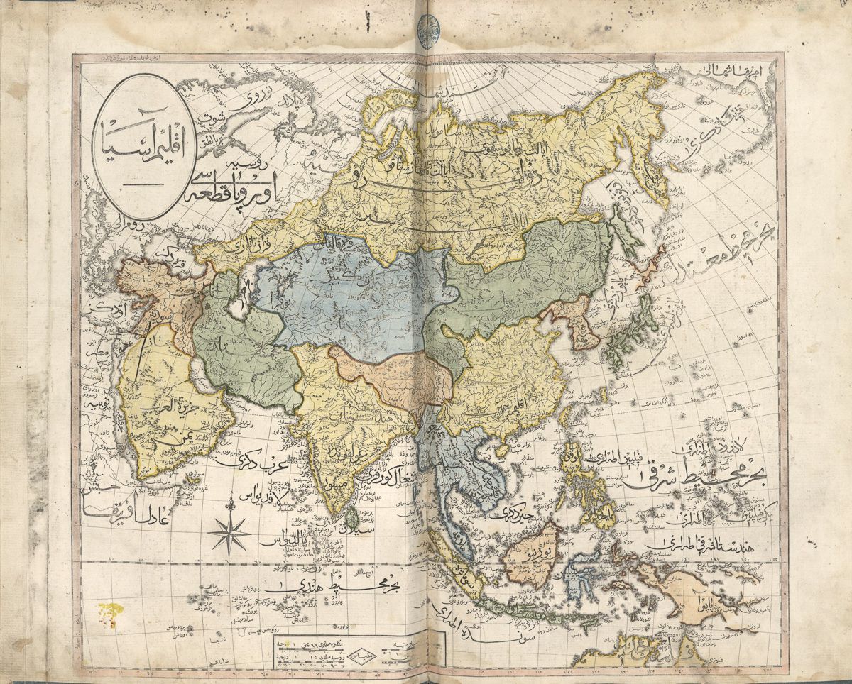
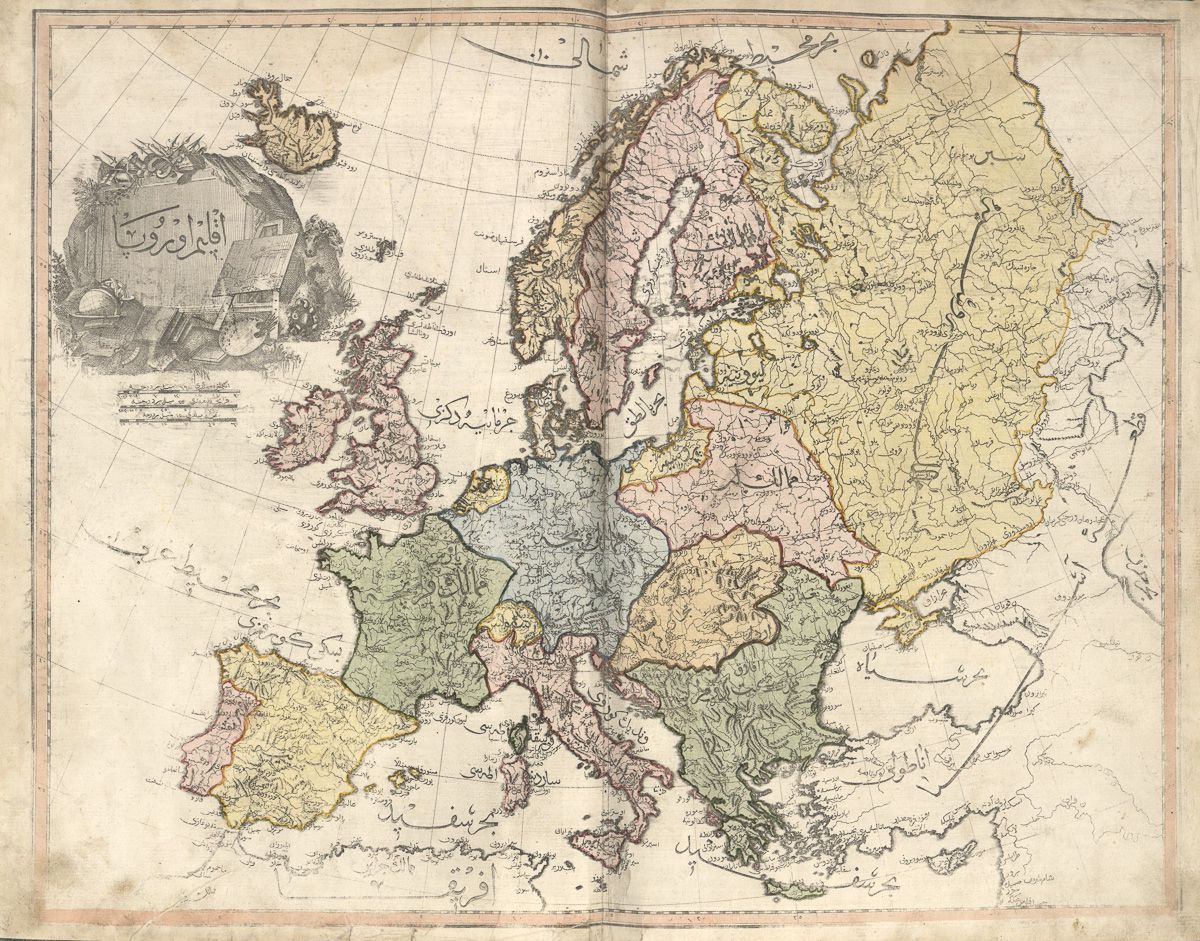
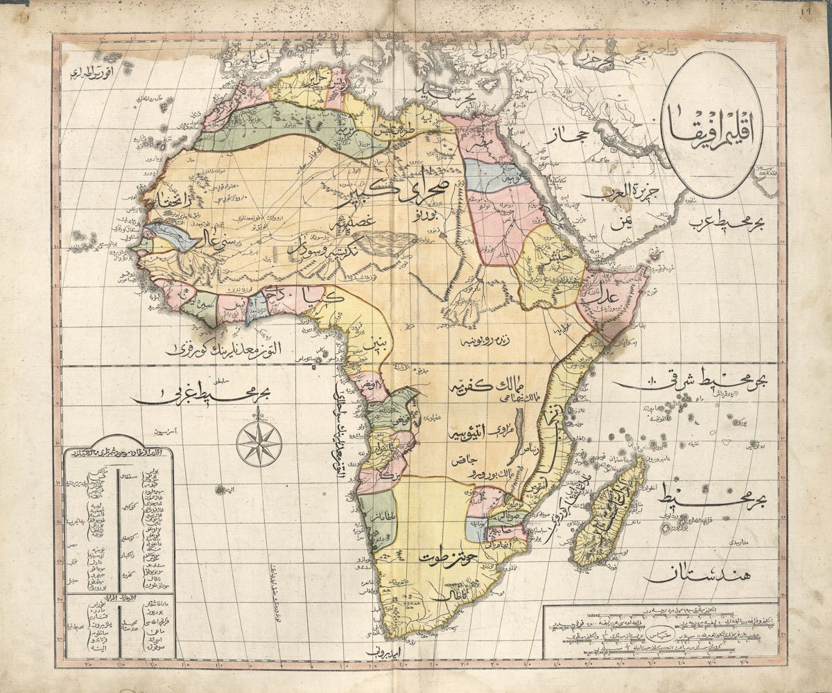
The Ottoman Empire’s cartographic legacy isn’t limited to Europe. The Ottomans charted various parts of the world, producing maps that are now preserved in prestigious collections like the Library of Congress. These historical documents showcase their advanced understanding of geography and their adaptability in adopting new techniques.
Table of Contents
- World map (1803)
- The Western Hemisphere (1803)
- Eastern North America (Spanish, American, and French territories colored) (1803)
- The Eastern Hemisphere (1803)
- Northern hemisphere (1803)
- Southern hemisphere (1803)
- Asia (1803)
- Europe (1803)
- Turkey and Greece (1803)
- Greece, Turkey, and the Black Sea
- Greece and Turkey
- Turkey and the Middle East (1803)
- Spain and Italy (1803)
- Africa (1803)
- France at the time of the monarchy (1803)
- France at the time of the Republic
- Belgium and Luxembourg (1803)
- Lithuania and Prussia (1803)
- Germany (1803)
- Guyana (1803)
- France and the Channel Islands (1803)
- The West Indies (1803)
- England and Wales, 1803
- Scotland (1803)
- The Nile River
- Ottoman map of Australia, 1894
World map (1803)

The Western Hemisphere (1803)
19th-century Ottoman maps of the Americas.


Eastern North America (Spanish, American, and French territories colored) (1803)

The Eastern Hemisphere (1803)

Northern hemisphere (1803)

Southern hemisphere (1803)

Asia (1803)

Europe (1803)

Turkey and Greece (1803)

Greece, Turkey, and the Black Sea

Greece and Turkey

Turkey and the Middle East (1803)

Spain and Italy (1803)

Africa (1803)
France at the time of the monarchy (1803)

France at the time of the Republic

Belgium and Luxembourg (1803)

Lithuania and Prussia (1803)

Germany (1803)

Guyana (1803)

France and the Channel Islands (1803)

The West Indies (1803)

England and Wales, 1803

Scotland (1803)


The Nile River

Ottoman map of Australia, 1894

If you’d like to see more early maps and atlases created by ancient cartographers, follow the link below.
To dive deeper into the history and culture of the Ottoman Empire, consider checking out these recommended books available on Amazon.