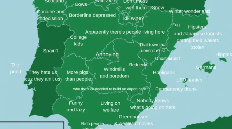
Spain Maps
Collection of physical, administrative, travel and over maps of Spain.
How the Spanish Empire could have survived
17 March 1808 Charles IV, king of Spain, scapes Madrid with the royal court in order not to be taken
Read MoreSpain mapped only by roads and highways
Related posts: – Canada mapped only by dirt trails, roads & highways – The contiguous U.S. mapped only by dirt
Read MoreClosing the Metro Map: Madrid is closing Line 1 of its subway
23 stations of Sierra de Guadalupe Plaza de Castilla (“Line 1”), closed until 12 November. Line 1 is the second
Read MoreWhere billions of cicadas will emerge this spring & the next decade
For 17 years, cicadas do very little. They hang out in the ground, sucking sugar out of tree roots. Then,
Read MoreIconic architecture on Spain’s map
Related posts: – Landscapes (more or less typical) by country
Read More
