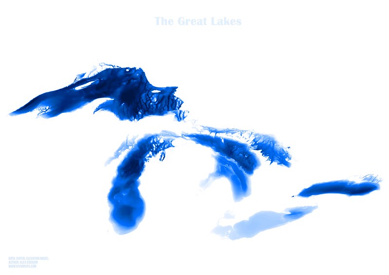
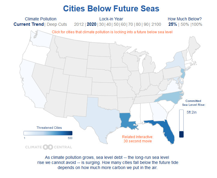
Animated mapsEducationMapping Stereotypes The surprising countries directly across the sea from Great Britain December 2, 2016 Alex Via telegraph.co.uk Related Posts:Maps of the Great LakesStates impacted by sea level riseRoman Britain explained in mapsGreat Britain's Islands Mapped larger than 5 km2Hudson Bay vs. Great Britain: You could fit Great…Coastal Risk Australia12 maps that explain the Mediterranean SeaThe world with a 70 meters sea-level rise