Internet
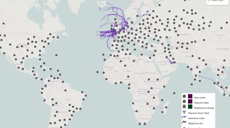
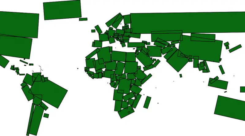
The New Cloud Atlas
The New Cloud Atlas is a global effort to map each data place that makes up the cloud in an
Read MoreMusical map of the world
Listen to what people in over a thousand cities are uniquely into now. Relates post: – World Radio Map
Read More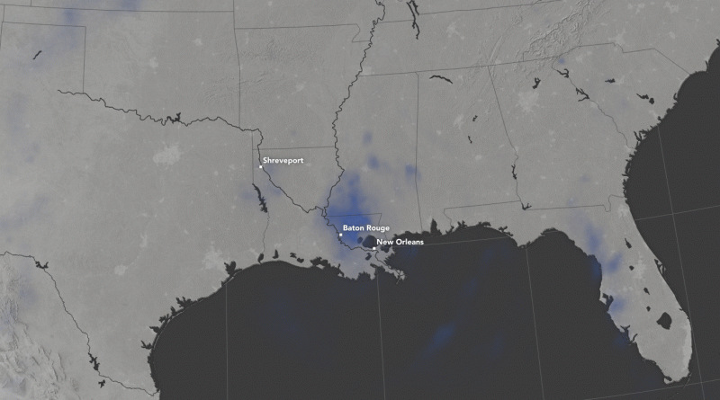
Louisiana Flooding: NASA Animation of Accumulated Rainfall
Days of intense rainfall in August 2016 led to widespread flooding in southern Louisiana, as rivers swelled high above their
Read More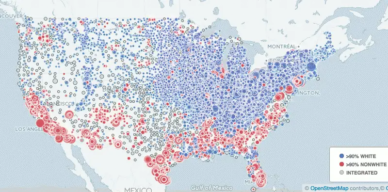
The new face of segregation in schools
Based on an analysis we conducted of data from the National Center for Educational Statistics, we found that approximately a
Read MoreOveral fiscal solvency: How do the 50 states rank?
Ranking the U.S. states by fiscal condition. This ranking of the 50 states is based on their fiscal solvency in
Read More
U.S. workers strongly pessimistic by state
Wyoming and West Virginia follow New Jersey as the number two and three states with the highest percentage of workers
Read More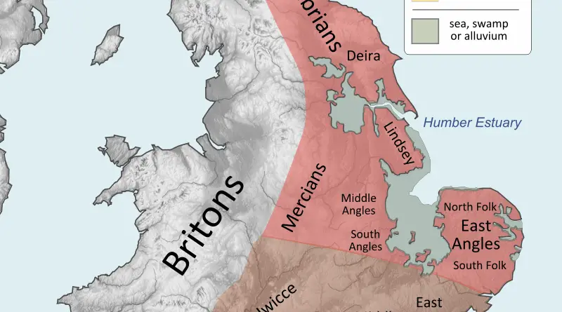
Settlements of British Peoples in the 7th century
Via wikimedia.org
Read More