Tearing Taiwan apart
Taiwan is an island full of contrasts. These 36 maps cleverly highlight its internal divisions—through language, politics, lifestyle, and local quirks—revealing the many layers of Taiwanese identity.
Read More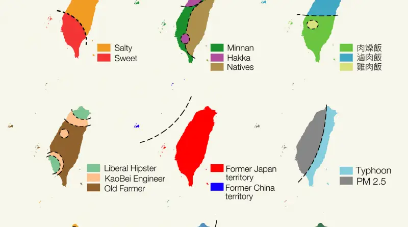
Taiwan is an island full of contrasts. These 36 maps cleverly highlight its internal divisions—through language, politics, lifestyle, and local quirks—revealing the many layers of Taiwanese identity.
Read More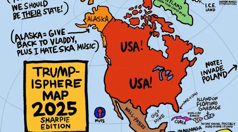
Few politicians have inspired as much satirical creativity as Donald Trump. His blunt rhetoric, sweeping generalizations, and larger-than-life persona made him an irresistible subject for cartographers and illustrators alike.
Read More
Reddit user bezzleford created stereotype-based maps of South Africa showing how locals see their own country — through race, voting habits, tourism, minerals, and even causes of death.
Read More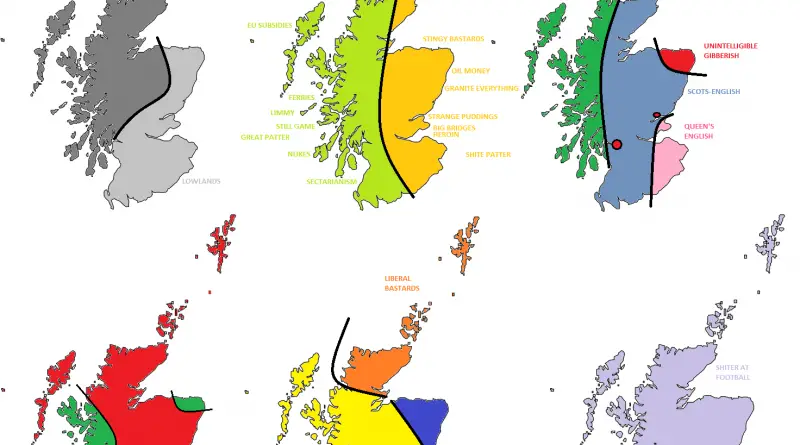
The UK as you’ve never seen it: divided by accents, snacks, and politics. These maps are full of dry humor and local stereotypes.
Read More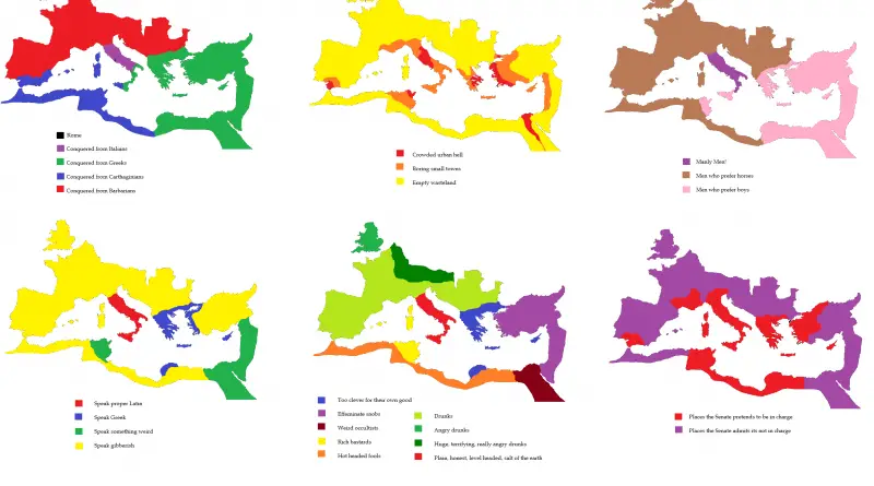
Reddit user CountZapolai redraws the Roman Empire using six sarcastic stereotype maps — from language and drinking habits to who’s really in charge.
Read More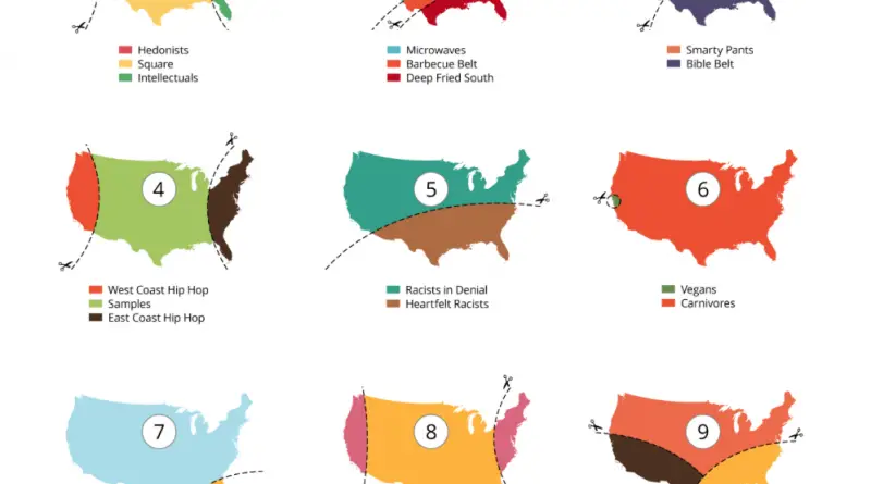
A diverse population has impacted history in the U.S. from the very beginning. From the first travelers and colonists to the modern-day, the United States has been a country of immigrants. Many groups have combined to shape America’s history and give the society that the country has today. Therefore, differences between U.S. states and territories can be significant.
Read More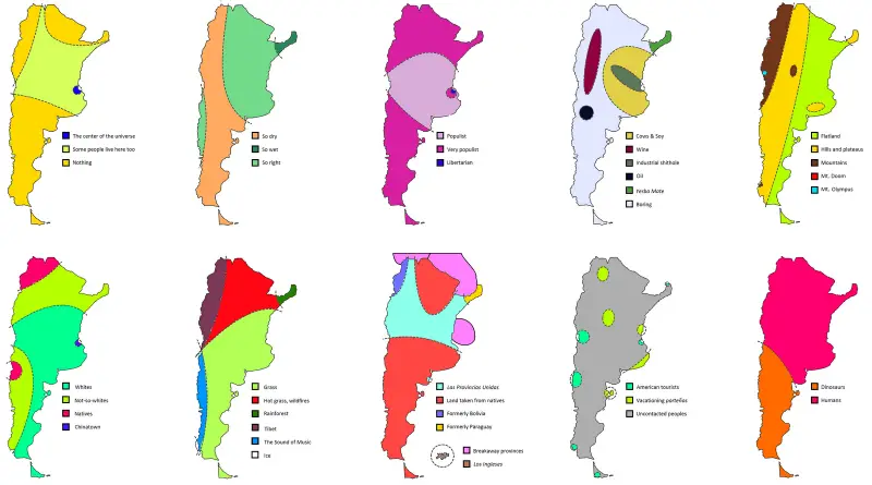
Argentina as seen through memes and maps—19 humorous ways Redditors divide the country by stereotypes, politics, animals, and more.
Read More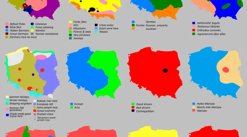
This crowd-made map of Poland is a mix of humor, stereotypes, and biting commentary. It’s not scientific — and that’s exactly the point.
Read More
South America is big, diverse, and hard to pin down—but that hasn’t stopped people from trying. These 12 humorous maps stereotype the continent in surprising and absurd ways.
Read More
Two maps reimagine Switzerland in 17 unusual ways – from real divides like language and geography to playful stereotypes about cities, drivers, and even naked hiking
Read More