A map of Procrastination
Procrastination is typically taken as an irrational or a self-defeating delay, to be worse off for putting off.
Read more: A map of Procrastination
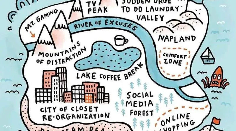
Procrastination is typically taken as an irrational or a self-defeating delay, to be worse off for putting off.
Read more: A map of Procrastination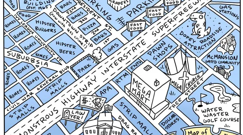
American cities are characterized by their grid-based layout, automobile-centric design, diverse architecture, and vibrant cultural scene. These features make American cities unique and distinct from cities in Europe and other parts of the world.
Read more: Map of Every American City
European cities are characterized by their historic architecture, compact and walkable layout, efficient public transportation networks, and vibrant public spaces. These features contribute to the unique charm and character of European cities and set them apart from cities in other parts of the world, such as American cities.
Read more: Map of Every European City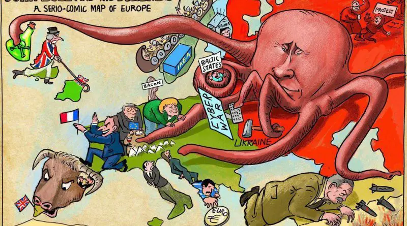
From Victorian-era political satire to modern geopolitical commentary, see how two maps separated by 140 years use surprisingly similar imagery to portray Russia’s influence in Europe.
Read more: How Cartoonists Used the Octopus to Show Russian Power: Comparing Maps 140 Years Apart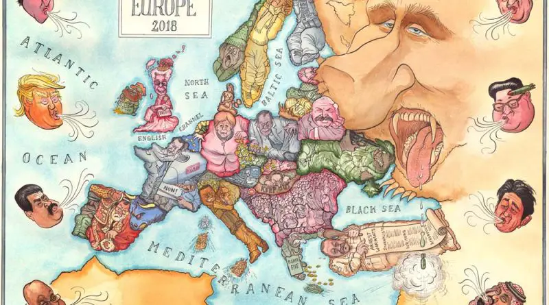
Political tensions and international relations have long been captured through satirical map posters of Europe. See how artists portray these dynamics through the ages.
Read more: The Art of Mockery: Satirical Map Posters of Europe Through Time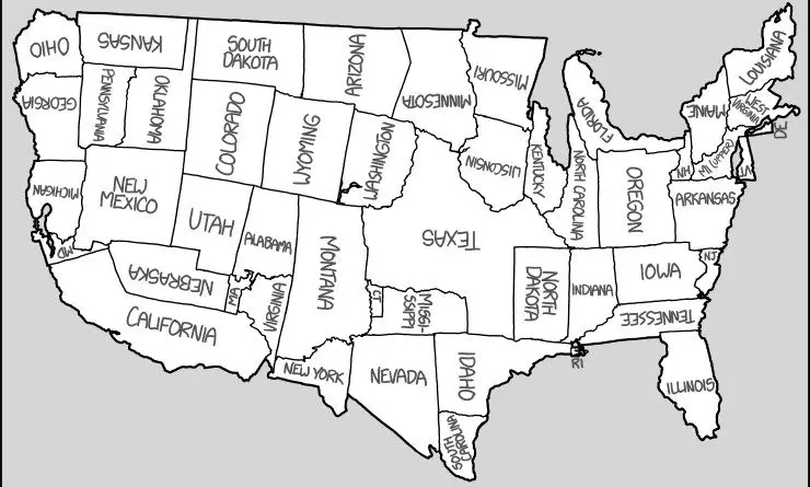
xkcd’s comic takes the United States map to a whole new level by relocating states to surprising places. It’s geography with a twist, plus links to U.S. map posters!
Read more: United States Map: A Creative Comic Perspective by xkcd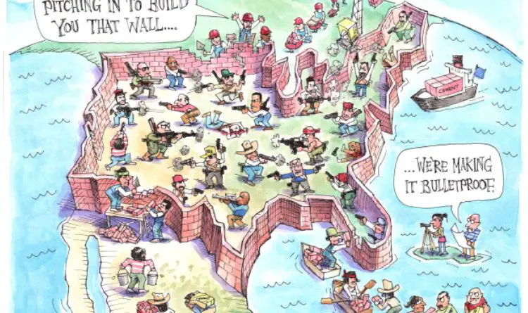
Matt Wuerker’s 2018 cartoon “The Great Wall of America” cleverly blends politics, gun culture, and isolationism. Explore the deeper message behind this witty map.
Read more: The Great Wall of America: A Satirical Look at Politics, Guns, and Isolation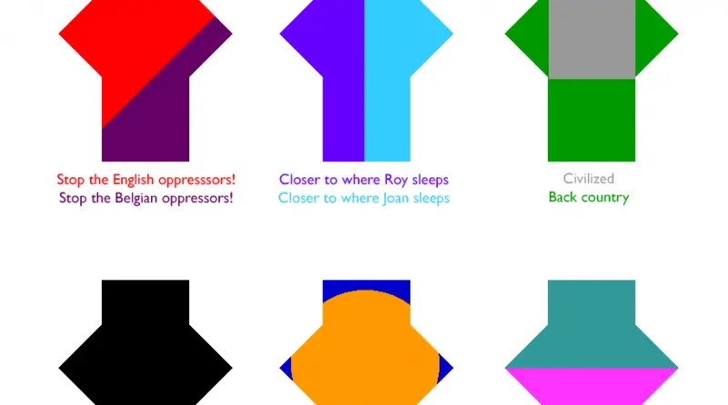
Sealand is a one-of-a-kind “nation” perched on a sea fort in the North Sea. Despite its tiny footprint, it’s big on imagination. This post explores six satirical ways to divide its 550 m² of territory—complete with civil strife, architectural borders, and even a treadmill marathon route.
Read more: 6 ways to divide Sealand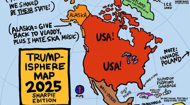
Few politicians have inspired as much satirical creativity as Donald Trump. His blunt rhetoric, sweeping generalizations, and larger-than-life persona made him an irresistible subject for cartographers and illustrators alike.
Read more: How Donald Trump Sees the World
Source: Randall Munroe xkcd.com You can make these maps say whatever you want by adjusting the methodology. Half the time you’re
Read more: Most-used word in each U.S. states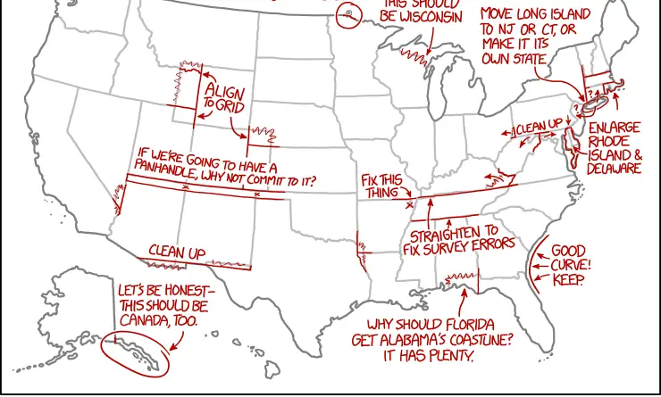
XKCD, is a webcomic created by American author Randall Munroe. The comic’s tagline describes it as “A webcomic of romance, sarcasm,
Read more: XKCD on the design of U.S. state borders
Reddit user: MorningEcho
Read more: % of Africans who can read