Transport

Transport

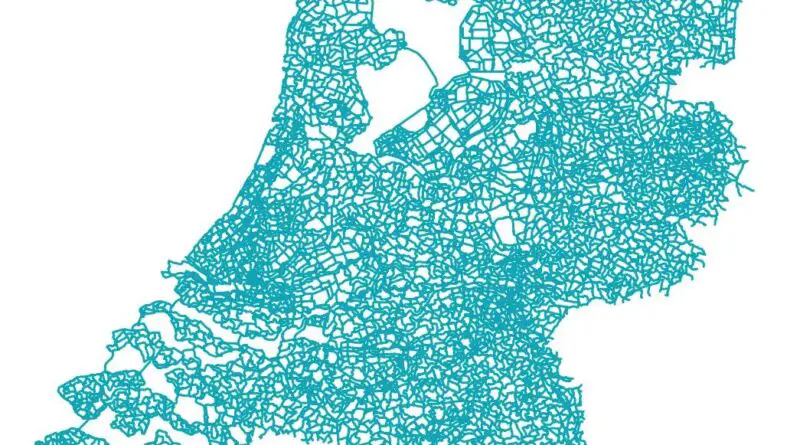
All bike Paths in the Netherlands Mapped

The Netherlands is among the most bike-friendly countries globally, with 36% of Dutch people listing the bicycle as their most systematic way of getting around on an ordinary day instead of the auto (45%) and public transportation (11%). Cycling has a share of 27% of all urban and rural journeys nationwide. In municipalities, this is even higher, such as Amsterdam, which has 38%, and Zwolle 46%.

Read more: All bike Paths in the Netherlands Mapped
CitiesTransport

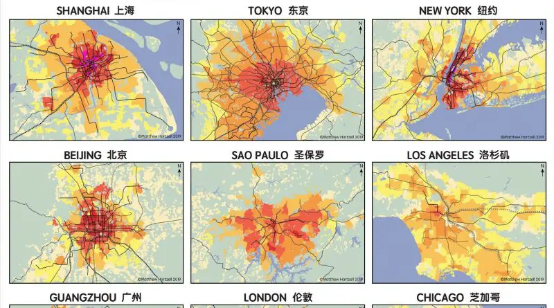
Population Density and Urban Transit In Large World Cities

Population and transportation density identify specific cities. It is one of the most precise measures of how suburbia differs from the central city, and it depicts the most visual contrast between urban areas throughout the world. Although differences exist within the central city and suburbia, differences on a global basis between North American and European cities are even more impressive.

Read more: Population Density and Urban Transit In Large World Cities
Interactive mapsTransport

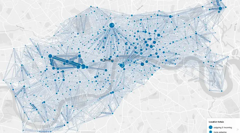
London Bicycle Hires Mapped

London has a popular bicycle-sharing scheme called Santander Cycles, formerly known as Barclays Cycle Hire. It is a public bicycle hire scheme that allows residents and visitors to rent bicycles for short journeys around the city. Barclays Cycle Hire was launched in 2010. It was often referred to as “Boris Bikes” after then-Mayor of London, Boris Johnson, who supported and promoted the scheme.

Read more: London Bicycle Hires Mapped
Transport

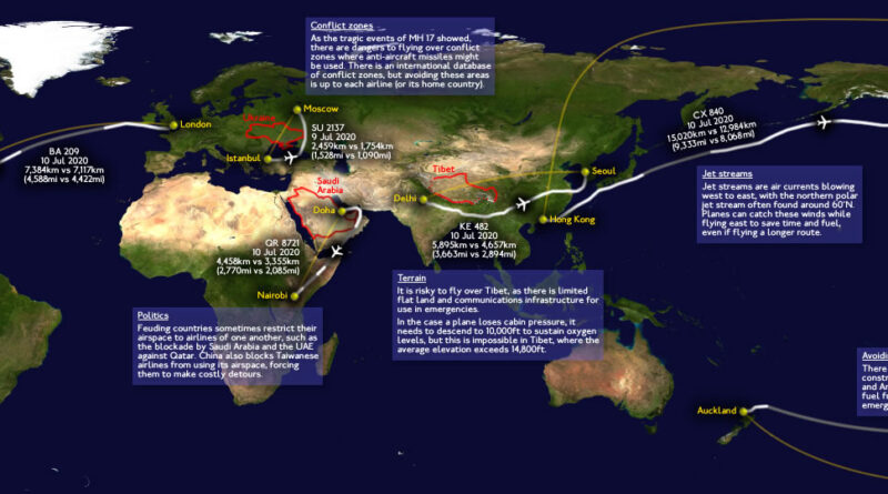
Why Pilots Don’t Fly Straight

The shortest distance between two points is a straight line, right? Not when you’re flying. The flight from London to Auckland covers 18,336 kilometers, and the route from London to Dunedin spans 19,086 kilometers. On a map, you can see the most direct paths, but commercial planes rarely take them. Seven different factors push aircraft off their ideal routes, adding time, burning extra fuel, and ultimately raising ticket prices for passengers.

Read more: Why Pilots Don’t Fly Straight
Transport

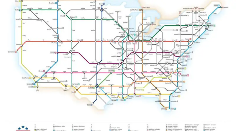
United States interstate system mapped

Construction of the Highway System was declared finished in 1992. The cost of the Interstate Highway System’s construction was almost $114 billion (equal to $521 billion in 2020). The primary system has been extended many times by the expansion of being designations and creating new designations. Currently, all routes’ total length is more than 48.4 thousand miles (~78 thousand kilometers).

Read more: United States interstate system mapped