Transport

Transport

Mapping America’s Car Dependency by County

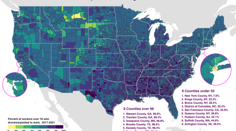
In Stewart County, Georgia, 99.6% of workers drive to their jobs. In Manhattan, just 7.6% do. This map using Census Bureau data from 2017-2021 shows which American counties are most car-dependent and where alternatives exist. Eight counties exceed 98% driving rates, all in rural areas. Nine counties fall below 50%, concentrated in dense urban centers with transit systems.

Read more: Mapping America’s Car Dependency by County

TransportTravel maps

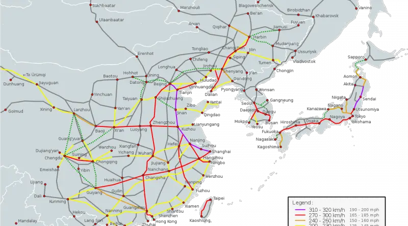
Three Highways That Form a 27,000-Kilometer Loop Around China

Three of China’s national highways share endpoints at exactly three locations, closing into a 27,166-kilometer (16,880 miles) loop around the country. One section crosses the Tibetan Plateau near Mount Kailash. Another passes every major port city on the eastern coast. The third follows the northern border through Inner Mongolia and the Gobi Desert.

Read more: Three Highways That Form a 27,000-Kilometer Loop Around China
Interactive mapsTransport

U.S. transportation infrastructure

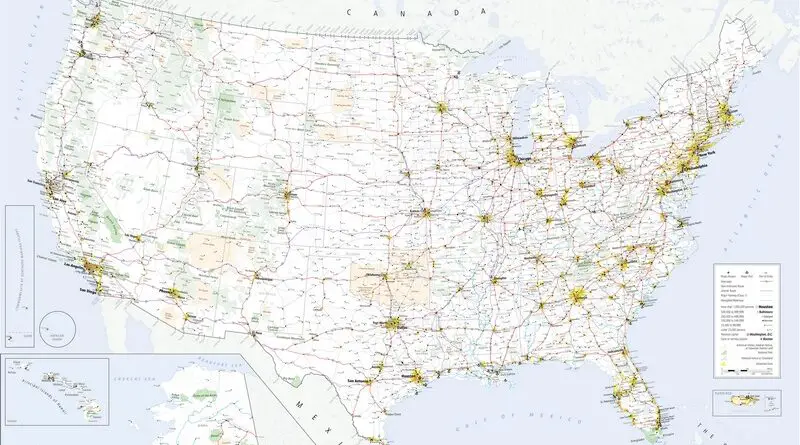
The U.S. boasts a vast and diverse transportation infrastructure that serves as the backbone of its economy and daily life. At the heart of this network is an extensive system of highways and roads, including the iconic Interstate Highway System, connecting cities and regions across the country. This highway network facilitates the movement of goods and people, supporting commerce, tourism, and daily commuting.

Read more: U.S. transportation infrastructure