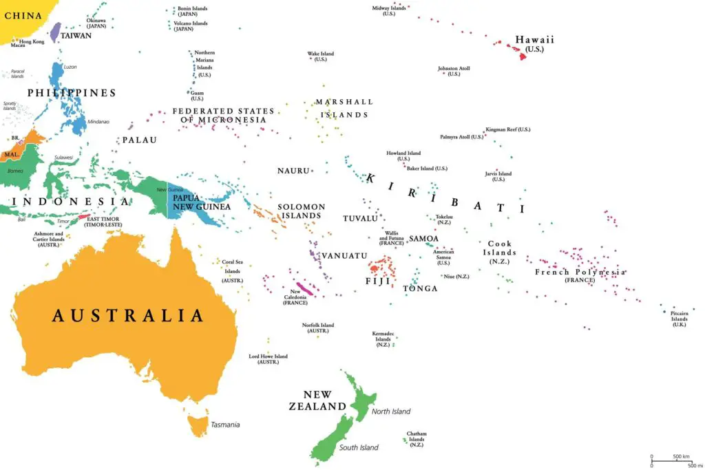
Map of Oceania
Oceania is a geographical region that encompasses numerous islands and countries located in the central and western Pacific Ocean. It is known for its vast expanse of ocean and diverse cultures. Oceania is divided into four sub-regions:
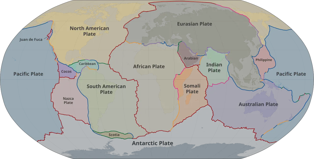
- Australasia: This sub-region consists of Australia, the largest country in Oceania, and New Zealand. Both countries are situated on the Australian tectonic plate.
- Melanesia: Melanesia includes countries and territories in the southwestern Pacific. Some of the prominent countries in this sub-region are Papua New Guinea, Fiji, Solomon Islands, Vanuatu, and New Caledonia.
- Micronesia: Micronesia is located in the northwestern Pacific and comprises numerous small islands. Some countries in this sub-region are Palau, Federated States of Micronesia, Marshall Islands, and Kiribati.
- Polynesia: Polynesia encompasses a vast area in the central and eastern Pacific and consists of several islands and island nations. Some of the countries in Polynesia include Samoa, Tonga, Tuvalu, and French Polynesia.

There are 14 sovereign nations in Oceania (Australia, New Zealand, Papua New Guinea, Fiji, Solomon Islands, Vanuatu, Samoa,
Kiribati, Tonga, Tuvalu, Nauru, Palau, Federated States of Micronesia, Marshall Islands). These are independent countries with their own governments and international recognition.
Several oceanic islands belong to western countries as overseas territories, dependencies, or integral parts of the countries themselves. Here are some examples of oceanic islands that are part of western nations:
- French Polynesia: An overseas collectivity of France, comprising several islands and atolls in the South Pacific Ocean.
- New Caledonia: A special collectivity of France, located in the southwestern Pacific Ocean.
- Guam: An unincorporated territory of the United States, situated in the western Pacific Ocean.
- Northern Mariana Islands: A commonwealth territory of the United States, located in the western Pacific Ocean.
- American Samoa: An unincorporated territory of the United States in the South Pacific Ocean.
- Hawaii: The 50th state of the United States, located in the central Pacific Ocean.
- Easter Island (Rapa Nui): A Chilean territory in the southeastern Pacific Ocean, known for its iconic moai statues.
- Pitcairn Islands: A British overseas territory in the South Pacific Ocean, known for being one of the most remote inhabited places on Earth.
- Tokelau: A dependent territory of New Zealand, consisting of three atolls in the South Pacific Ocean.
- Norfolk Island: An external territory of Australia, located in the South Pacific Ocean.
- Christmas Island: An external territory of Australia, located in the Indian Ocean but considered part of the region of Oceania.
The most populous country in Oceania is Australia (50% of the total population of Oceania). Australia is a large country and continent with a population of over 25 million people. It is home to the majority of the population in the Oceania region and has a diverse and multicultural society.
Papua New Guinea with a population of over 10 million people (about 20% of the total population of Oceania.
The third place in the ranking of Oceania countries with the highest population is shared by New Zealand and Western New Guinea. More than 5 million people live in each of these countries.
The largest city in Oceania is Sydney. It is a major economic, cultural, and financial hub in the region.
To learn more about Oceania, have a look at the following books:

