Remoteness
The road system of the United States is one of the most giant human constructions on our planet. Today the road system of the U.S. surpasses four million miles in combined length, plus numerous public line roads (8.3 million miles), other service roads, and off-road driving trails.
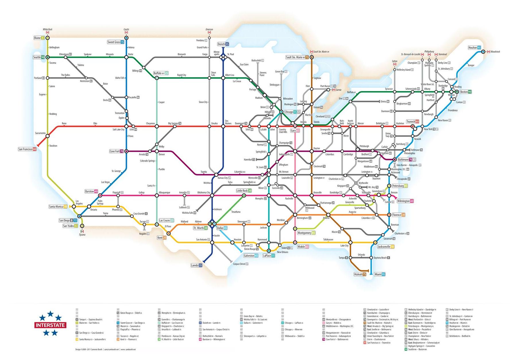
The first national road numbering system for cross-country travel, 48,053-mile Interstate Highway System estimates for just over 1% of the country’s total road mileage but manages 25.1% of the nation’s entire road trip.
The registered roads and their rights-of-way occupy about 1 percent of the land of the United States (roughly the area of South Carolina).
The map below color codes distance from “major roads.” Areas of lowest distance to road appear in blue. Areas of longest distance are represented in shades of red.
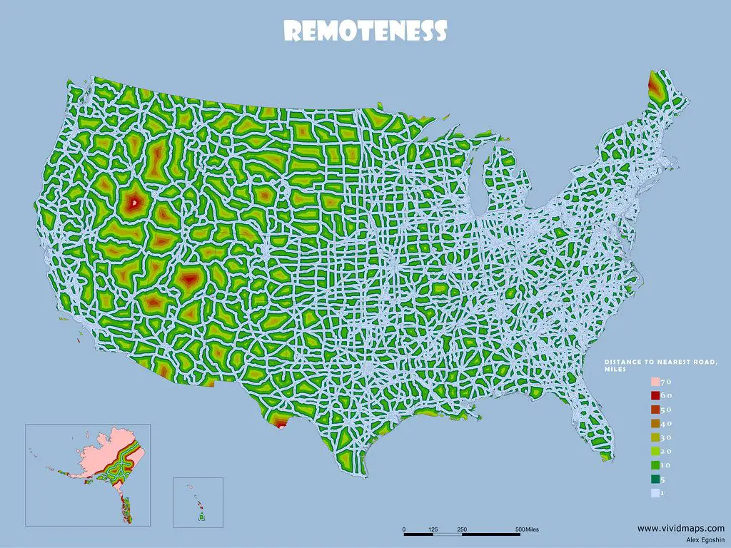
The highest density of roads is in the east and west of the country, where the climate is the most comfortable for living.
Habitat fragmentation and disruption affected by the expansion of infrastructure such as roads endanger biodiversity. Roads work as obstacles by preventing animal migrations and reducing space usage.





Intrigued by this map, I opened Google maps and looked at the pink area
on the Nevada/Idaho border, and there’s a place in the southwestern
corner of Idaho called Dickshooter.
Wooooooooow!!!!!!!!! Niceee map!! Thank you!!