The Five Guianas
The Five Guianas: Spanish, British, Dutch, French and Portuguese claims along northeast South America — how those colonial names became today’s regions.
Read MorePolitical Maps show governmental and administrative borders of countries, provinces, states, and counties, the location of major cities, and other political units.
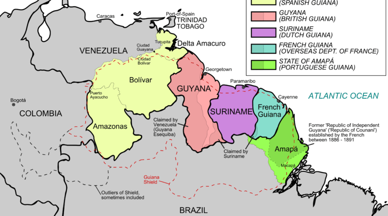
The Five Guianas: Spanish, British, Dutch, French and Portuguese claims along northeast South America — how those colonial names became today’s regions.
Read More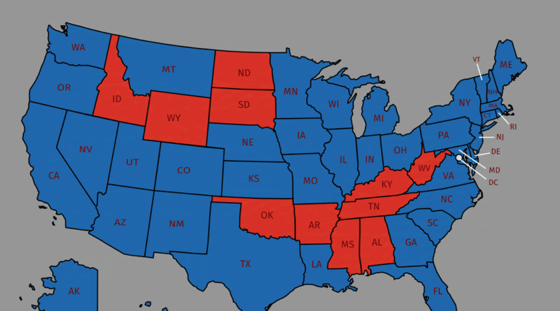
Four maps breaking down the 2024 election by education and gender show how dramatically voting patterns differ across America. College-educated women favored Harris 61-37%, while college-educated men split more evenly at 51-47% for Harris. Non-college women went narrowly for Trump 52-46%, but non-college men backed Trump decisively at 61-37%.
Read More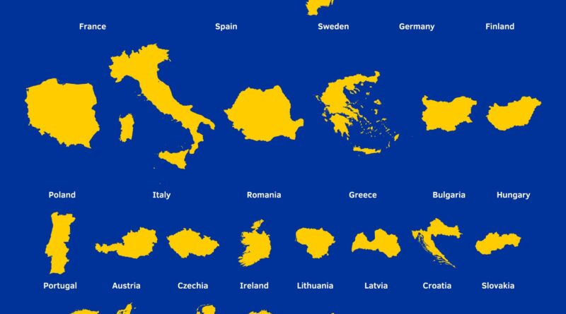
France could fit Malta inside it 1,733 times. This map ranks all EU countries from biggest to smallest with their actual sizes and population densities.
Read More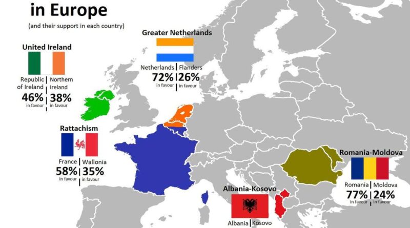
Europe spent the 1900s breaking countries apart, but some regions never gave up on coming together. From Ireland’s legal reunification pathway to Albania-Kosovo’s passionate public backing, these six unification movements show how popular support and political reality often live in completely different worlds.
Read More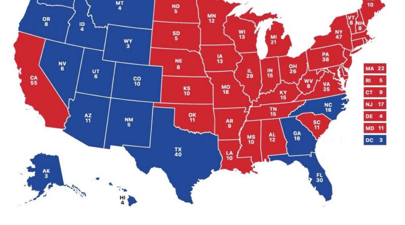
From the current 2024–2028 electoral map to a “what-if” version based purely on population, these maps offer a fresh look at how political power is distributed across the United States.
Read More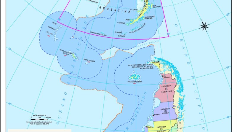
The South Pole is on top, Argentina is flipped, and the map shows far more than geography. This official Argentine map offers a fresh and revealing way to look at the world.
Read More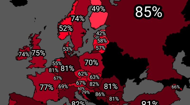
A new map shows how many people in each European country support higher taxes on the wealthy. The differences may surprise you—see where your country stands.
Read More
Explore Iran through insightful maps. From its shifting borders and climate to its ethnic, linguistic, and religious diversity
Read More
Explore a unique missile range map, showing the reach of countries like Iran, Israel, and North Korea. Find out what this map says about global security and missile development today.
Read More
The seating layout of a parliament might seem like a design detail—but it often reflects deeper political traditions. Here’s what the different setups mean around the world.
Read More