Brazil’s Upside-Down World Map
Explore Brazil’s south-up map and discover how changing map orientation can shift your entire view of the world.
Read more: Brazil’s Upside-Down World MapPolitical Maps show governmental and administrative borders of countries, provinces, states, and counties, the location of major cities, and other political units.
Explore Brazil’s south-up map and discover how changing map orientation can shift your entire view of the world.
Read more: Brazil’s Upside-Down World MapWhat if state and county borders weren’t just lines, but barriers shaped by elevation, rainfall, and population? This series of 3D maps that do just that—transforming geographic and demographic data into eye-catching visualizations.
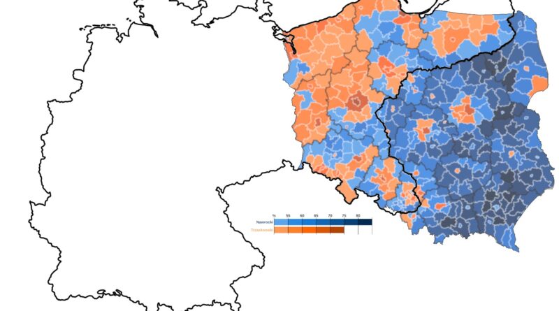
Read more: United States Border WallsA century after the empires that once ruled Poland vanished, their shadows still linger. This post explores how old imperial borders — now invisible — continue to shape Polish elections.
Read more: Phantom Borders: How Poland’s Past Still Shapes Its PoliticsIf only white men cast ballots, how would the 2024 presidential election map change? We look at the results by state, point out significant changes since 2020, and talk about the implications for American voting patterns.
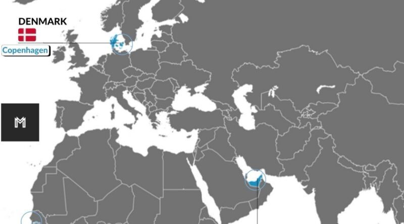
Read more: What If Only White Men Voted in the 2024 U.S. Election?Some countries placed their capital cities on islands instead of their mainland. Learn why that happened, what the benefits and downsides are, and how infrastructure keeps these island capitals connected.
Read more: When the Capital Isn’t on the MainlandEU support is at a record high, with 74% of citizens believing membership benefits their country. But why are some nations more enthusiastic than others? Discover the latest data and insights.
Read more: Is Europe More United Than Ever? A Look at EU Membership Support in 2025A fascinating map shows how a candidate could win the U.S. presidency with just 22.9% of the vote by securing key states with the highest electoral votes per population ratio.
Read more: How to Become U.S. President with Less Than 23% of the VotesWhy does The Gambia look so strange on a map? Explore the historical and colonial reasons behind The Gambia’s narrow, elongated shape, how it’s divided administratively, and how this unusual geography affects the country’s economy and development.
Read more: The Gambia – The World’s Most Bizarrely Shaped CountryA new survey reveals how Canadians feel about the idea of joining the U.S. as the 51st state. Spoiler: most say no. But why? Let’s explore the history, identity, and relationship between Canada and the U.S.
Read more: Should Canada Become the 51st State? Survey Results and Historical ContextThis map reveals the European territories that have been under French rule for different periods, from the heart of modern France to former French possessions. How has this shaped culture, language, and identity across the continent?
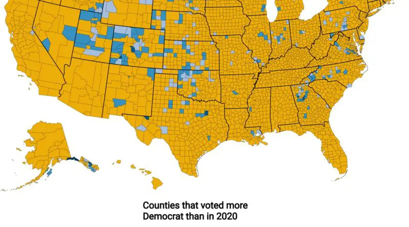
Read more: How Long Was Your Region Part of France? A Look at European Territories Under French RuleSome counties voted more Democratic in 2024 than in 2020—why? Utah’s changing conservative base, Colorado’s new arrivals, and shrinking populations in Oklahoma could be part of the story.
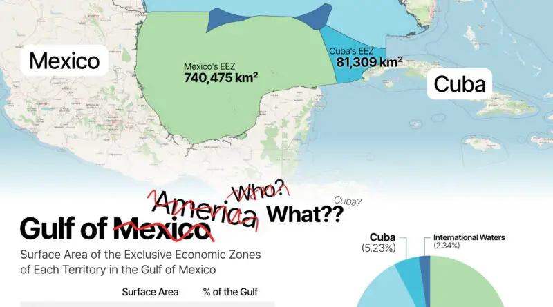
Read more: The U.S. Counties That Shifted Left in 2024Following a recent U.S. executive order, the waters between the United States and Mexico now have two official names. While Mexico and most of the world still call it the Gulf of Mexico, U.S. government maps label it as the Gulf of America. This naming shift reveals how geographic labels can become unexpected points of international discussion.
Read more: The Gulf of Mexico or America?What if election results shaped other worlds? See how Trump’s votes create Mars-like peaks and valleys, while Harris’s support carves the lunar surface – revealing Earth’s political divide through planetary terrain.
Read more: Space Race 2024: Mapping Election Results on Mars and Moon