Political maps

Political Maps show governmental and administrative borders of countries, provinces, states, and counties, the location of major cities, and other political units.

Economic mapsPolitical maps

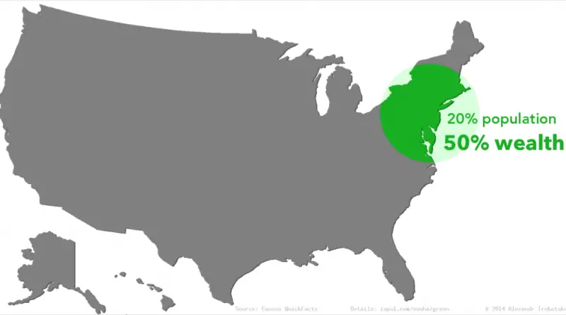
15 maps about America worth bringing up at dinner parties or first dates

At 3.8 million square miles (9.8 million square kilometers) and a population of about 332 million people, the United States is the world’s 3d-largest country by total area and 3rd most populous country in the world. The country consists of 50 states, one federal district, 5 major unincorporated territories.

Read more: 15 maps about America worth bringing up at dinner parties or first dates
Geologic mapsPolitical maps

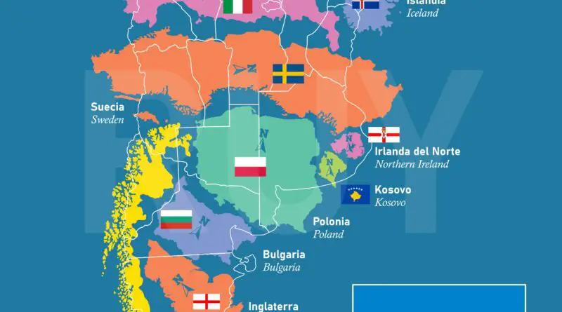
Map of Pangea with current International borders

Pangea was a mega continent that existed throughout the late Paleozoic and early Mesozoic eras. It gathered from earlier continental parts about 335 million years ago, and it started to split apart about 175 million years ago. Much of Pangaea was in the southern hemisphere enclosed by a superocean, Panthalassa, in opposition to the modern Earth and its concentration of continental mass. Thus Pangaea was the most recent mega continent to have existed and the first to be reconstructed by scientists.

Read more: Map of Pangea with current International borders