Geologic maps

Geologic mapsNewsVivid maps

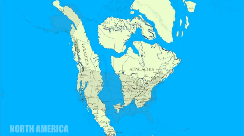
North America 77 million years ago

The Cretaceous is the 3rd and final period of the Mesozoic Era geological period that continued from about 145 to 66 million years ago. It was a geologic period with a comparatively warm climate, resulting in high eustatic sea levels that shaped many shallow inland water bodies.In the Late Cretaceous, the many contemporary U.S. states were beneath the waves of the Western Interior Seaway.

Read more: North America 77 million years ago
Environment mapsGeologic mapsPaleontology

The Scottish Highlands, the Appalachians, and the Atlas are the same mountain range, once connected as the Central Pangean Mountains

The Central Pangean Mountains were a great mountain chain in the middle part of the supercontinent Pangaea that stretches across the continent from northeast to southwest during the Carboniferous, Permian Triassic periods.

Read more: The Scottish Highlands, the Appalachians, and the Atlas are the same mountain range, once connected as the Central Pangean Mountains
Geologic maps

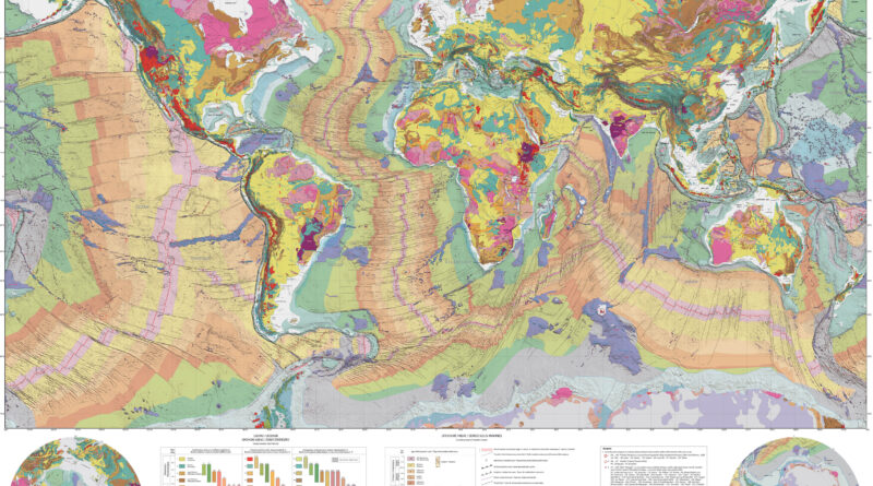
Three Global Geological Maps That Show 4 Billion Years of Earth’s History

Looking at a rock means looking at time itself. Every stone formation around us formed through billions of years of pressure, heat, and transformation. Three remarkable global geological maps let you explore this planetary memory, from the depths of ocean trenches to the highest mountain ranges.

Read more: Three Global Geological Maps That Show 4 Billion Years of Earth’s History