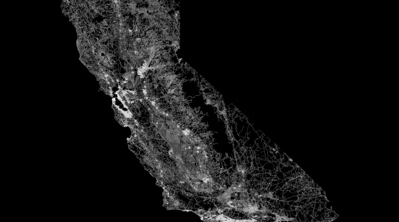
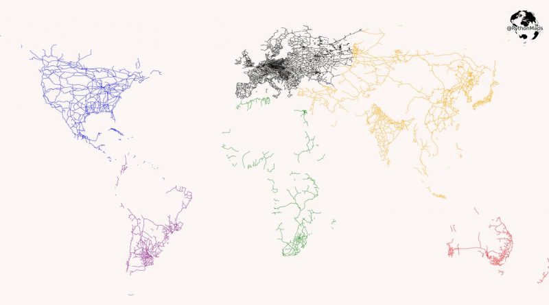
San Francisco: An isochronous map for public transportation
Given a starting point it shows what you can reach within a certain time limit using public transportation (so subway,
Read MoreGiven a starting point it shows what you can reach within a certain time limit using public transportation (so subway,
Read MoreHere’s how central London would look if the Tube map was geographically correct. Via Mapfolder
Read MoreAlthough many argue that cities around the world are moving towards automobile-dominant, low-density sprawl, a comparison of the Toronto region
Read MoreThis map is a combination of current and proposed railways across the mainland and maritime Southeast Asia. The proposed lines
Read MoreReddit user: gosnox
Read MoreRelated posts: – New York’s Subway Deserts – New York City boroughs journey to work-driving ca alone vs. walk/public transportation
Read MoreInteractive map gives wireless passwords from airports & lounges. Offline version of this map: iOS, Android.
Read MoreDid you know from 1890 to 1958 the British Columbia Electric Railway Co. Ltd. installed and operated interurban and streetcar
Read MoreThis interactive demo displays the location of every bus and rail vehicle from TriMet in Portland, Oregon at any point
Read More