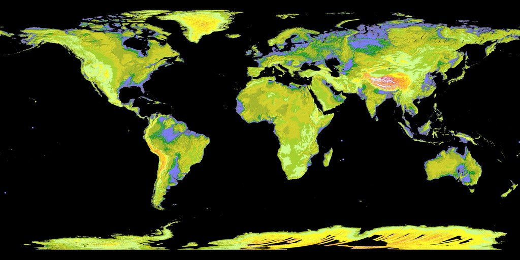
NASA and the Ministry of Economy, Trade, and Industry of Japan together declared the release of the Advanced Spaceborne Thermal Emission and Reflection Radiometer (ASTER) Global Digital Elevation Model V. 3.
The first variant of the ASTER Global Digital Elevation Model was presented in 2009. It was created applying stereo-pair images obtained by the ASTER instrument onboard satellite Terra. ASTER Global Digital Elevation Model cover spans from 83°N to 83°S, encompassing 99% of planets’ landmasses.