The Reaches of New York City (1939)
“Done in the studios of The National Geographic Magazine
The map shows:
– Places of interest such as Historic Monuments, Shrines, Ruins, noteworthy Architecture, etcetera.
– Towns of similar interest well worth to visit.
– Churches. Battlefields. County Seats. State Capitals. Heights in feet. Highways. Railroads. Canals.”
Related posts:
– New Netherland settlements & areas of influence (1614 – 1674)
– Urban Scratchoff
– Interactive map of New York City in the year 1609
– Map of Manhattan by Joan Vinckeboons (1639)
– New Amsterdam (1660)
– New Amsterdam (1662)
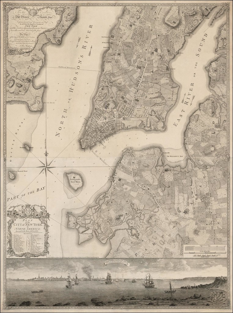
– Plan of the New York City (1776)
– A British map of New York City (1776)
– A British Map of New York City (1777)
– Map of lower Manhattan (1803)
– Map of Manhattan (1865)
– Coast Survey Nautical Chart of Map of New York City & Harbor (1866)
– Bird’s-eye-view of the Manhattan, published by Currier & Ives (1870)
– Bird’s-Eye Map of Greater New York (1897)
– Mapping the skyscrapers of Manhattan by use and date (1874 – 1900)
– Visualizing 19th-Century New York
– Map of the New York City Central Railroad (1918)
– A map of the wondrous isle of Manhattan (1926)
– NYC real property inventory report (1934)
– What if the New York City subway map paid homage to some of the city’s great women?
– New York City – Historical maps compared with Maps of Today
– Along the Hudson River from Glens Falls to New York City
… NYC maps


