Earth

EarthEnvironment maps

Earth’s surface visualized

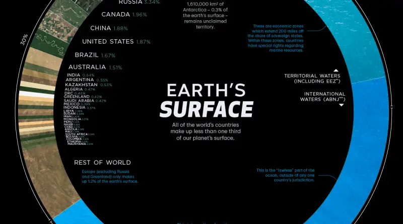
The Total Surface Area of our planet is about 509.6 million km² or 197 million mi². The land occupies only 29% of the Earth’s Surface (148.3 million km2 or 57.3 million mi²). The largest countries by surface area are Russia (3.35%), Canada (1.96%), China (1.88%), United States (1.87%), Brazil (1.67%), and Australia (1.51%). Together they occupy approximately 12.24% of the planet’s surface. 70% of the Earth’s total surface is covered with water (361. 7 million km² or 139. 7 million mi²).

Read more: Earth’s surface visualized
EarthInteractive maps

Interactive Pangea map with international borders

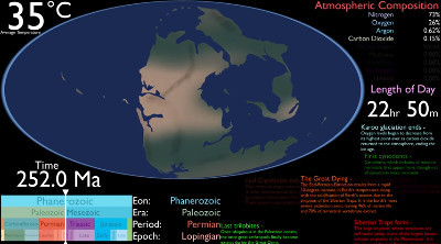
Pangea was a supercontinent that existed during the late Paleozoic and early Mesozoic eras. It assembled from earlier continental units approximately 335 million years ago, fully assembled about 270 million years ago, and it began to break apart about 175 million years ago. In contrast to the present Earth and its distribution of continental mass, much of Pangea was in the southern hemisphere and surrounded by a super ocean, Panthalassa. Pangea was the most recent supercontinent to have existed and the first to be reconstructed by geologists.

Read more: Interactive Pangea map with international borders