Fictional Maps

Fictional MapsNewsPhysical mapsVivid maps

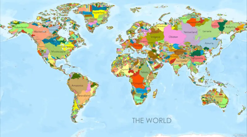
River Basins as Countries: A New World Map

I’ve spent years drawing maps and staring at political boundaries, always wondering: what if we threw out those arbitrary lines and started over? What if, instead of following the legacy of colonial empires and ancient wars, our borders traced something more fundamental—the flow of water itself? That question led me to create a series of world maps that reimagine our planet as a collection of river basins, each “country” following the natural watershed of a major river system.

Read more: River Basins as Countries: A New World Map
Fictional Maps

World Map in George Orwell’s 1984: A Dystopian Geography

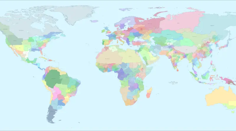
George Orwell’s “1984” presents a chilling vision of a world divided into three superstates: Oceania, Eurasia, and Eastasia. This dystopian world map reflects Cold War anxieties and serves as a warning about the dangers of totalitarianism. Discover how Orwell’s fictional geography continues to influence our understanding of power and control in the modern world.

Read more: World Map in George Orwell’s 1984: A Dystopian Geography
Fictional MapsPolitical maps

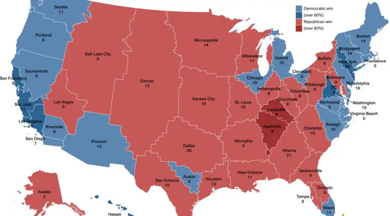
A Fresh Take on the United States Map: Urban Centers Redraw Political Boundaries

What if we redrew the United States map based on our largest urban areas? A fascinating new political map does just that, offering a unique perspective on how our nation’s political landscape might look under very different circumstances. This urban-centric approach creates 48 hypothetical states, each centered around a major metropolitan area, with surprising implications for the Electoral College and political affiliations.

Read more: A Fresh Take on the United States Map: Urban Centers Redraw Political Boundaries