The World According to Ancient China
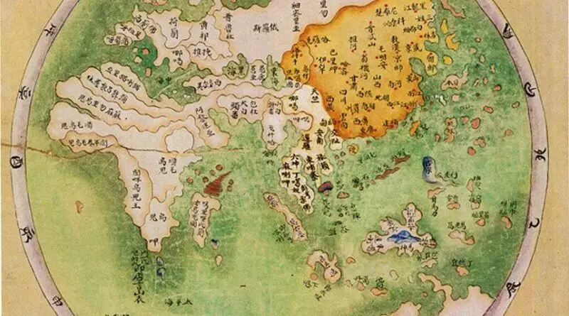
Ancient China often viewed itself as the center of the world, both culturally and geographically. This perception was reinforced by the idea of the “Middle Kingdom” (Zhongguo), which placed China at the center of the known world. Surrounding regions and countries were seen as peripheral or inferior in comparison.
Read More