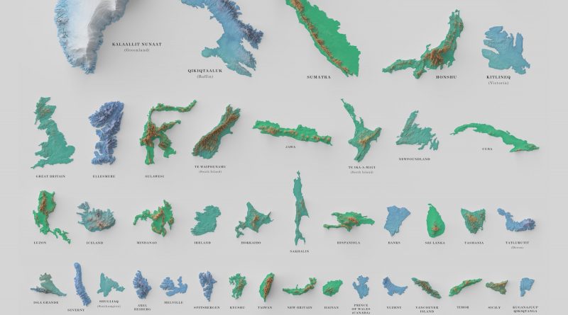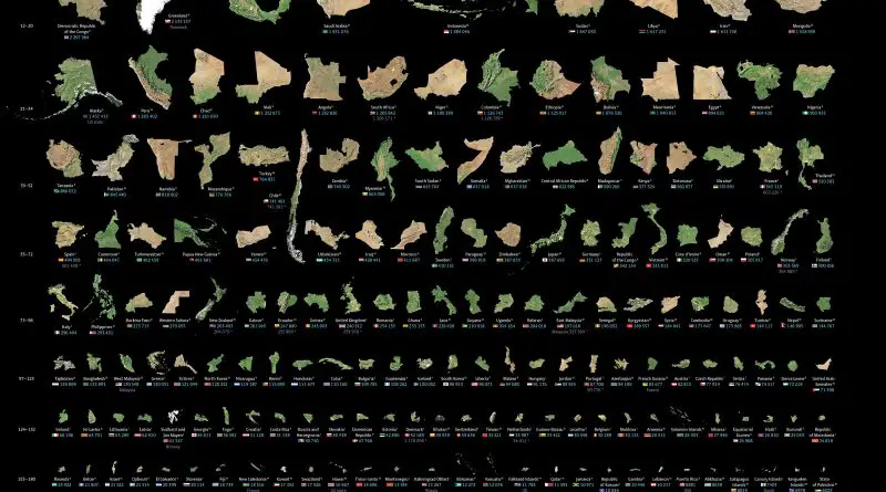
The largest to smallest landmasses in the world mapped
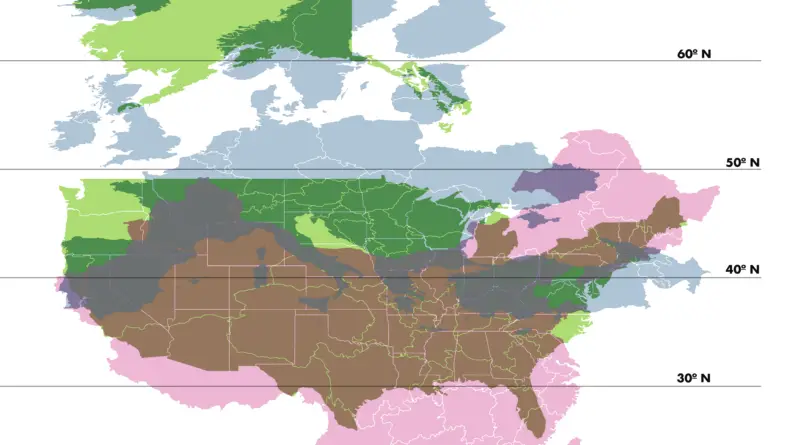
One of the most significant disadvantages of the Mercator projection is that it distorts the actual sizes of territories. The atlas below shows the actual size of all countries and dependencies by area.
Read More