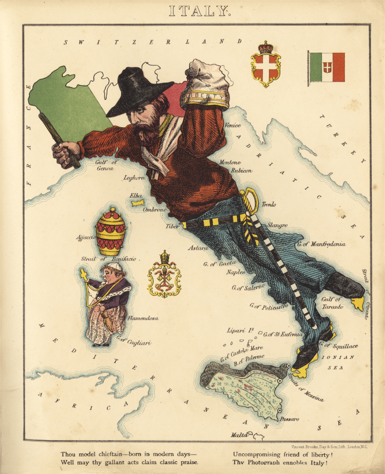
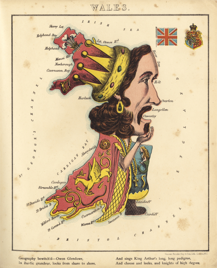
Anthropomorphic maps of European countries. The maps below were printed in ‘Geographical Fun’, a beautiful atlas of parody maps of European counties, painted, according to the introduction, by a 15-year-old girl to amuse her sick brother. The artist was, however, William Harvey (1796-1873), a London Doctor and Journalist, most famous for his book ‘London Scenes and London People’ (1863). The maps contain many references to the political reforms sweeping within Europe, with illustrations of Garibaldi and Bismarck.